

(above image of Décarie Expressway – July 1, 2024) © WalkMontreal
WalkMontreal is pleased to bring you an incredible walk along the Décarie Expressway! Please join C & D as they walk north from Villa Maria Metro Station up the west side of Décarie Boulevard to Paré Street, crossing over to the east side and walking south on Décarie Boulevard returning to Villa Maria Metro Station. We will be walking some beautiful streets on both sides of Décarie trying to get a glimpse of the history here. This area was prime farmland throughout the 19th and 20th centuries with family names that have left their mark on this area, such as Décarie (Descary), Prud’homme, Snowdon, Lacombe and others. This was one of the areas that the famous Montreal Melon was grown in, as well as fruit trees and berries, but more so than any other crop were the stunning and abundant apple orchards here.
We will also look at the corner of Queen Mary Road and Décarie Boulevard for a glance back at it’s history of shopping, visit the newly formed The Triangle area and of course visit some points of interest. Oh…and we had heard whispers about The Snowdon Woods…where were they?…let’s try and find where they stood, walk thru the old Mount Royal Vale and much more, shall we? Please join us on this fabulous walk.
C & D did this walk on Monday July 1, 2024, starting at 1:50PM and finished at 7:20PM (stopping once for a 20 minute break, and stopping for photos). It was 27C (81F), with sunny skies. The total length of the walk is approximately 11.7KM (7.3M) and the terrain is mostly flat. Please follow along the below Google map for directions. We used a Motorola one 5G ace phone, a DJI Osmo Pocket and a Nikon D3400 camera so there will be a difference in the standards and resolution of the images.
The below 1879 Map shows the farms and also a rough overlay in purple of the area we walked.

We begin this walk at Villa Maria Metro station, at the corner of Décarie Boulevard and Monkland Avenue.

Villa Maria Metro station.

Walk west on Monkland Avenue, taking the overpass and crossing over the Décarie Expressway.

The Décarie Expressway below us.

Once at the west corner of Décarie Boulevard Boulevard and Monkland Avenue, walk north along Décarie Boulevard.

Walking north along the west side of Décarie Boulevard.

Walking north along the west side of Décarie Boulevard.

At 4434 Décarie Boulevard is an old Catholic Orphanage, built in 1916.

Corner of Côte-Saint-Luc Road and Décarie Boulevard.

Walking north along the west side of Décarie Boulevard.

Older apartment buildings along west side of Décarie Boulevard.


This area to the west of Décarie Boulevard, north of Monkland Avenue and south of Vézina Street was known as “Mount Royal Vale” latter part of 19th C. and early part of 20th C. “Mount Royal Vale” includes these streets (but was not exclusive to them) – Coolbrooke, McLynn, Molson (today’s Clanranald), Earnscliffe, Snowdon, Wellsteed, Place Lucy, Isabella. In below 1879 map, we highlighted with a purple square this area that was known as “Mount Royal Vale”. Farms slowly disappeared as their owners sold off their land and it became a well sought after community. There were big real estate transactions going on here in 1870’s thru to 1900’s. So we will venture down a few of these streets on our walk to get an appreciation for them.

Below image is of the “Mount Royal Vale” passenger sleigh, built pre-1886 by Canada Coach Factory (owned by Larivière family, famous Quebec wheelwrights). This passenger sleigh would take you to and from Montreal. Photo taken by WalkMontreal in 2024 at The Canadian Railway Museum (Exporail) in Saint-Constant, Quebec. (if you haven’t visited this museum yet…go…it’s incredible!).

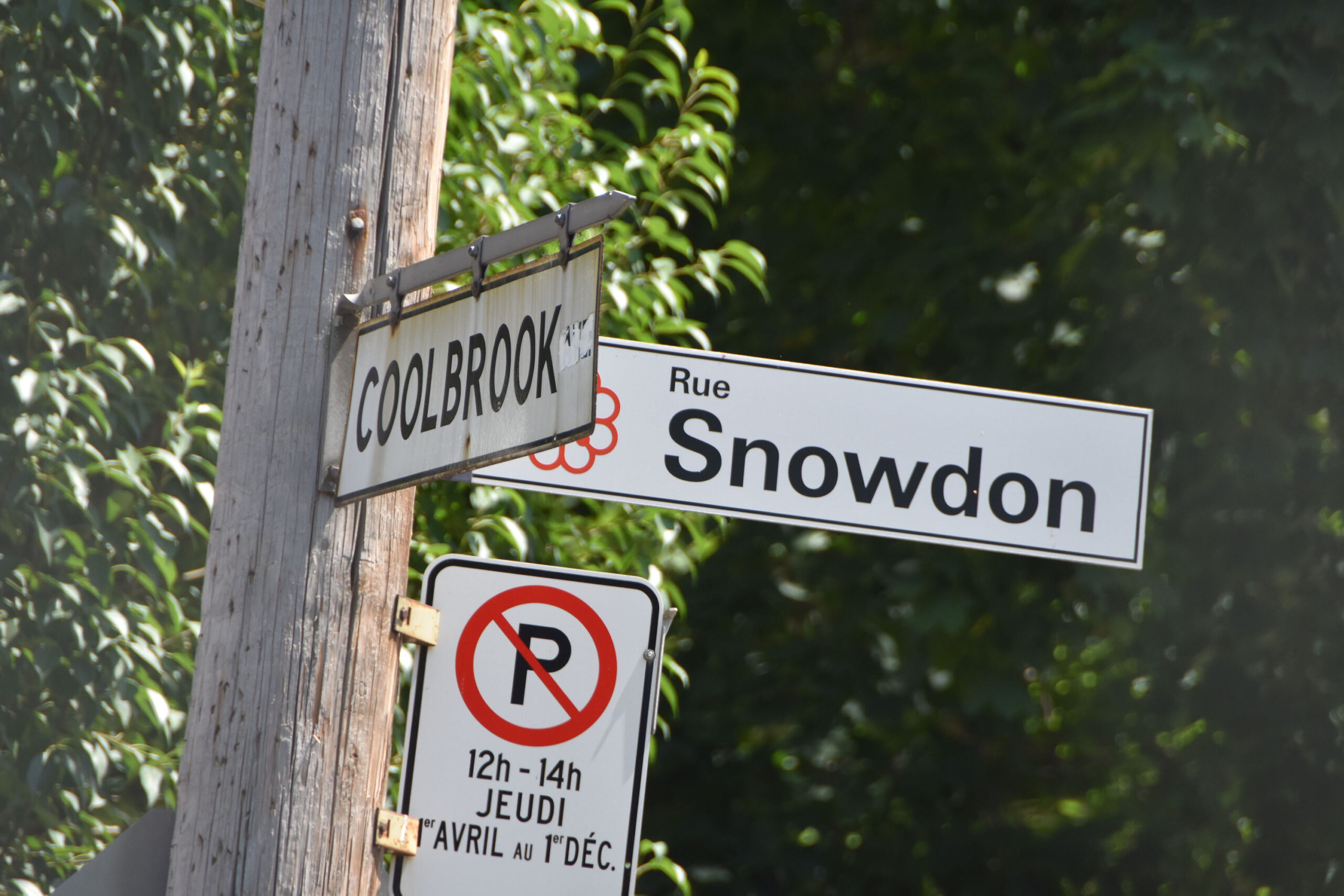
Intersection of Snowdon Street and Décarie Boulevard.

We now come to the corner of Snowdon Street and Décarie Boulevard. We will turn left and walk west on Snowdon Street.

Snowdon Street.

One of the Snowdon families on their farm off Snowdon Avenue, circa 1898 (credit: anonymous donor). The Snowdon’s grew mostly apples in their orchards alongside other fruit trees.

1907 map (credit: The Publishing Co. of the Island and City of Montreal). Villa Maria is centre right. Snowdon Avenue is bottom left. You can see buildings marked there in yellow. This is most likely where the above Snowdon family photo was taken. Take note: where the road is named “Notre Dame De Grace”, this is Décarie Boulevard as we know it. Development of streets has now encroached on these farms.

Ahhh…what do we have here? Looks like a Morus rubra, the red Mulberry tree right here on Snowdon Street.

Mulberry tree on Snowdon Street showing its fruit.

Mulberry tree on Snowdon Street showing its fruit.

Walk down one street to Coolbrook Avenue and walk north towards Queen Mary Road.
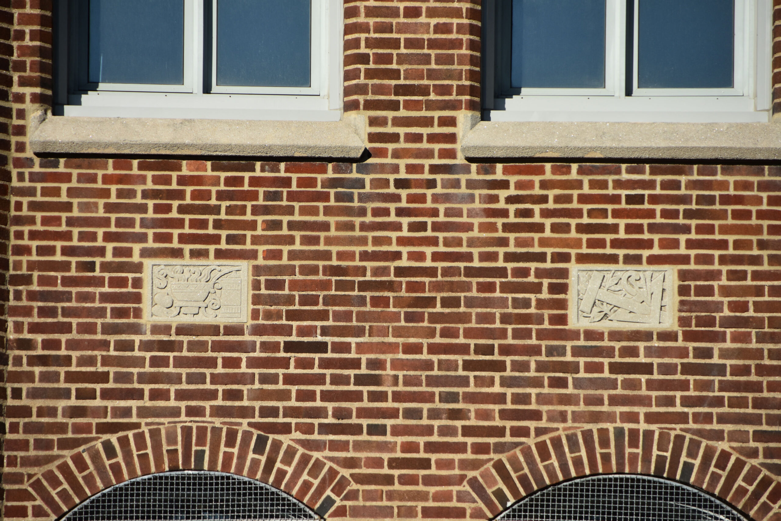
At 5010 Coolbrook Avenue is the Primary International School, built in 1915.

Originally, this was École Saint-Dominique and then Saint-Antonin School.


We are at the corner of Coolbrook Avenue and Queen Mary Road.

We will turn right and start walking east on Queen Mary Road towards Décarie Boulevard.

Storefronts on Queen Mary Road.

Walking east on Queen Mary Road.

Queen Mary Road.

More storefronts on Queen Mary Road.

Queen Mary Road.

We are now at the intersection of Queen Mary Road and Décarie Boulevard.

Looking south on Décarie Boulevard on the west side.


Looking north-east at the intersection of Queen Mary Road and Décarie Boulevard. This was the “Snowdon Junction”.

“This Typical Snowdon Junction Traffic Tangle…” (credit: Montreal Daily Star, March 25, 1949).

Snowdon Junction in 1947 (credit: Conrad Poirier / BANQ).

Below: Décarie Boulevard and Queen Mary in 1961.
After Sainte-Catherine Street, this area may have been the 2nd prime area for shopping and commerce on the island of Montreal from 1940’s until mid-1960’s.

Crossing over the Décarie Expressway.

Crossing over the Décarie Expressway.

On Queen Mary Road on the east side of the Décarie Expressway.

On Queen Mary Road on the east side of the Décarie Expressway.

Steinberg’s supermarket opened at 5201 Queen Mary Road on June 6, 1950 at 8:35AM. It was marketed as “Snowdon’s 1 Stop Shopping Centre”. There were “Magic Carpet Doors”, “Super Wide Aisles”, “Spacious Free Parking Lots” and “The New Conveyor Check-Out”. Today, Metro grocery occupies this building. The below is from The Gazette June 5, 1950.

On Queen Mary Road on the east side of the Décarie Expressway.

On Queen Mary Road on the east side of the Décarie Expressway.

On Queen Mary Road on the east side of the Décarie Expressway.

We are going to start walking north on Décarie Boulevard on the east side.

Walking north on Décarie Boulevard.

The Snowdon Theatre appears in front of us.


The Snowdon Theatre, opened in 1937, was a Streamlined Moderne Art Deco style theatre. It closed in 1982, and was demolished except for the facade and marquee, which stands today.

The Gazette February 27, 1937 and The Montreal Daily Star February 26, 1937.


The Snowdon Theatre, photo taken 1961 (credit: Archives de la Ville de Montréal)


Continue walking north on Décarie Boulevard.

Deli Snowdon is here.

We come to the intersection of Décarie Boulevard and Isabella Avenue.


Take the overpass and walk over the Décarie Expressway to the west side.

The Décarie Expressway below us.

The Décarie Expressway looking north in 1982 (credit: Michel Gravel / La Presse).

On the overpass looking south.

Crossing over to the west side of Décarie Boulevard.

Décarie Boulevard from Isabella Avenue, photo from 1961 (credit: Archives de la Ville de Montréal).

We are now walking west on Isabella Avenue for two blocks.

Passing Coolbrook Avenue,

Intersection of Isabella and Earnscliffe avenues.

We come to Macdonald Park.


In Macdonald Park is a monument to Queen Isabella of Spain.

Start walking north on Earnscliffe Avenue alongside Macdonald Park.

Macdonald Park.

Walking north on Earnscliffe Avenue alongside Macdonald Park.

Macdonald Park.

Walking north on Earnscliffe Avenue alongside Macdonald Park.

Walking north on Earnscliffe Avenue alongside Macdonald Park.

Intersection of Earnscliffe, Dupuis and McLynn avenues.

We will start walking north on McLynn Avenue.

Just as you step forward on McLynn Avenue, on your right is a Ruelle. Let’s walk thru this laneway, shall we?


Walking north thru a Ruelle behind McLynn Avenue.


In the Ruelle, on your right you will come to a junction with Place Lucy.

Walk onto Place Lucy and walk up this street.

Intersection of Place Lucy and Coolbrook Avenue.

Looking down Coolbrook Avenue.

Intersection of Place Lucy and Décarie Boulevard.

Intersection of Place Lucy and Décarie Boulevard.

Turn left and walk north on Décarie Boulevard.

Walking north on Décarie Boulevard.

Walking north on Décarie Boulevard.

We come to the intersection of Bourret Avenue Décarie Boulevard. Turn left and walk west down Bourrret Avenue.

Walking west down Bourrret Avenue.

Alley off Bourret Avenue.

Walking west on Bourrett Avenue.

Arriving at intersection of McLynn Avenue.

Turn onto McLynn Avenue and start walking north.

Walking north on McLynn Avenue.

We come to the intersection of McLynn and Van Horne avenues.

Corner of McLynn and Van Horne avenues, we will turn right here and walk east on Van Horne.


Walking east on Van Horne Avenue.

Alley off Van Horne Avenue.

Intersection of Van Horne Avenue and Décarie Boulevard.

Intersection of Van Horne Avenue and Décarie Boulevard. Looking south-east.

Intersection of Van Horne Avenue and Décarie Boulevard. Looking east.

Looking east on Van Horne Avenue, photo taken in 1961 (credit: Archives de la Ville de Montréal).

Intersection of Van Horne Avenue and Décarie Boulevard. Looking south-east.

Intersection of Van Horne Avenue and Décarie Boulevard. Looking north.

Intersection of Van Horne Avenue and Décarie Boulevard. Looking south down Décarie Boulevard.

Start walking north on the west side of Décarie Boulevard.

We are now at the intersection of Place Garland and Décarie Boulevard.

Turn down Place Garland and walk west.

Walking down Place Garland.

We come to intersection of Coolbrook Avenue and Place Garland.

Walk north along Coolbrok Avenue.

We come to the intersection of Coolbrook and Plamondon avenues.

Intersection of Coolbrook and Plamondon avenues.

We will now walk south on Plamondon Avenue.

Alley off Plamondon Avenue.

We arrive at intersection of Plamondon and McLynn avenues.

We are now at Rosemary Brown Park on McLynn Avenue.

Rosemary Brown Park

Walk thru the park to the corner of McLynn Avenue and Vézina Street.

McLynn Avenue and Vézina Street.

Walk east on Vézina Street towards Décarie Boulevard.

Intersection of Vézina Street and Décarie Boulevard.

Intersection of Vézina Street and Décarie Boulevard.

Carré Décarie Square Shopping Mall is here.

Carré Décarie Square Shopping Mall.

We are going to walk north on the west side of Décarie Boulevard.

Walking north on Décarie Boulevard, actually we are now walking beside the Expressway.

Walking north on the Décarie Expressway.

Continue north on the Décarie Expressway, walking under this overpass.

Continue north on the Décarie Expressway, walking under this overpass.

Continue north on the Décarie Expressway.

We will arrive at the intersection of Décarie Boulevard and Jean-Talon Street West. Big shopping on the left.

Intersection of Décarie Boulevard and Jean-Talon Street West.

Intersection of Décarie Boulevard and Jean-Talon Street West.

Intersection of Décarie Boulevard and Jean-Talon Street West.

Intersection of Décarie Boulevard and Rue des Jockeys. The Blue Bonnets Race Track stood here on the west side of Décarie.

Intersection of Décarie Boulevard and Rue des Jockeys.

Continue walking north on Décarie Boulevard.

We come to corner of Paré Street and we find the famous Gibeau Orange Julep here.

We come to corner of Paré Street and we find the famous Gibeau Orange Julep here.

The Orange Julep.

Intersection of Paré Street and Décarie Boulevard.

Walk across the overpass (Paré Street) heading to the east side of Décarie Boulevard.

The Décarie Expressway below us.

The Décarie Expressway below us.

The Décarie Expressway below us.

The Décarie Expressway below us.

We are crossing on the overpass to the east side of Décarie Boulevard.

Continue walking east on Paré Street walking by Ruby Foo’s.

Continue walking east on Paré Street. We start to see some of the new build in this area called The Triangle.

Intersection of Paré Street and Mountain Sights Avenue.

Mountain Sights Avenue.

Intersection of Paré Street and Mountain Sights Avenue.

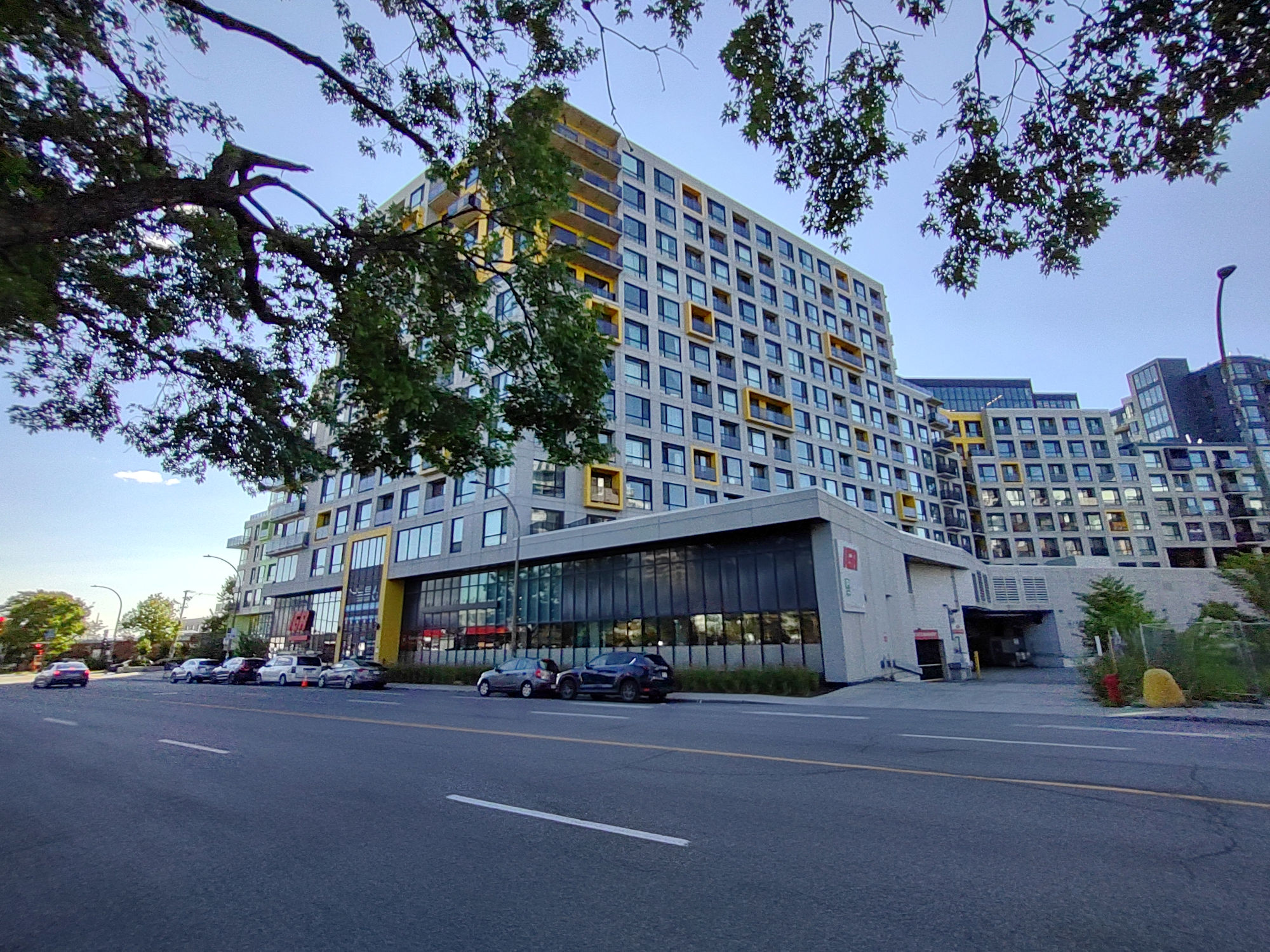
New build in this little area called The Triangle.

New build in this little area called The Triangle.

New build in this little area called The Triangle.

We are going to continue walking east on Paré Street.

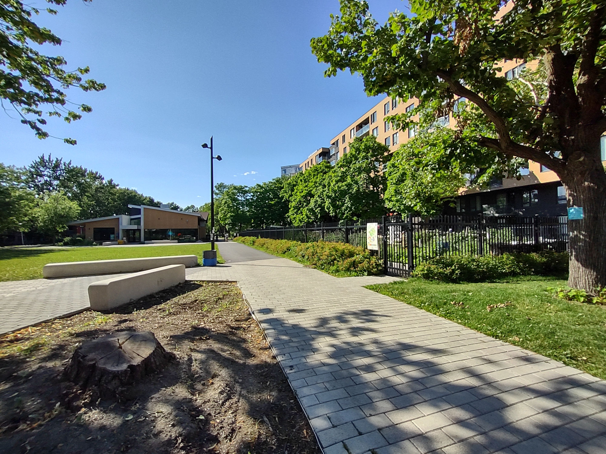
Parc de la Savane.


Parc de la Savane.
Continue walking east on Paré Street.

New build in this area called The Triangle.

Walking east on Paré Street.

Walking east on Paré Street.

Walking east on Paré Street.

We come to some beautiful vegetation at Parc Saidye-Bronfman.
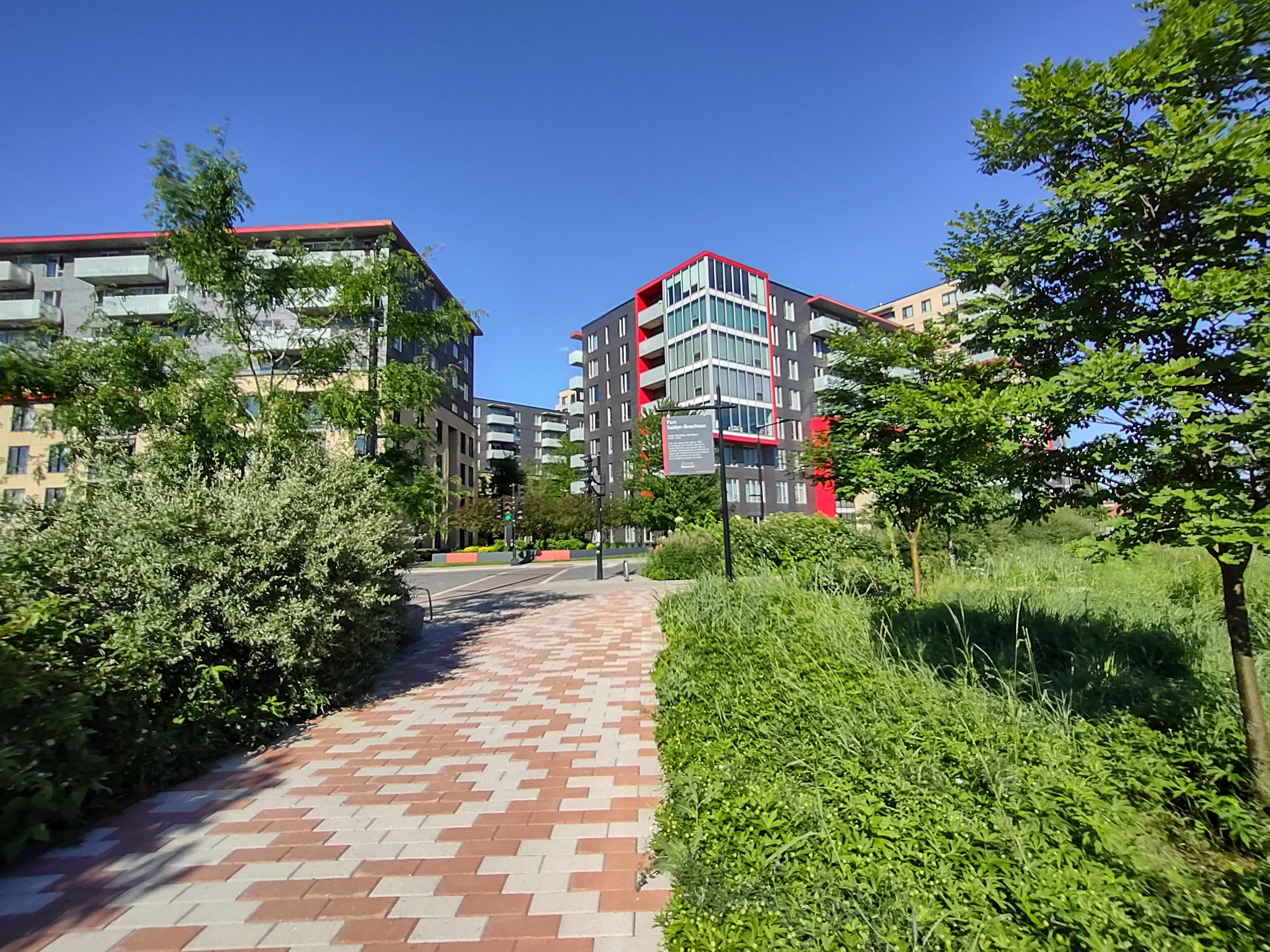
Parc Saidye-Bronfman.

Parc Saidye-Bronfman.


Intersection of Paré Street and Victoria Avenue.


Intersection of Paré Street and Victoria Avenue.

Intersection of Paré Street and Victoria Avenue.

Passing by Buchan Street.

We are walking south on Victoria Avenue to Jean-Talon Street West.

Intersection of Jean-Talon Street West and Victoria Avenue.

Intersection of Jean-Talon Street West and Victoria Avenue.

Intersection of Jean-Talon Street West and Victoria Avenue.

Turn right and walk west on Jean-Talon Street West.


Walking west on Jean-Talon Street West.

Walking west on Jean-Talon Street West.

Walking west on Jean-Talon Street West.
We come to the Namur Metro Station at corner of Décarie Boulevard. Turn left and walk south on Décarie Boulevard.

We are at the intersection of Namur Street and Décarie Boulevard.

We are at the intersection of Namur Street and Décarie Boulevard.

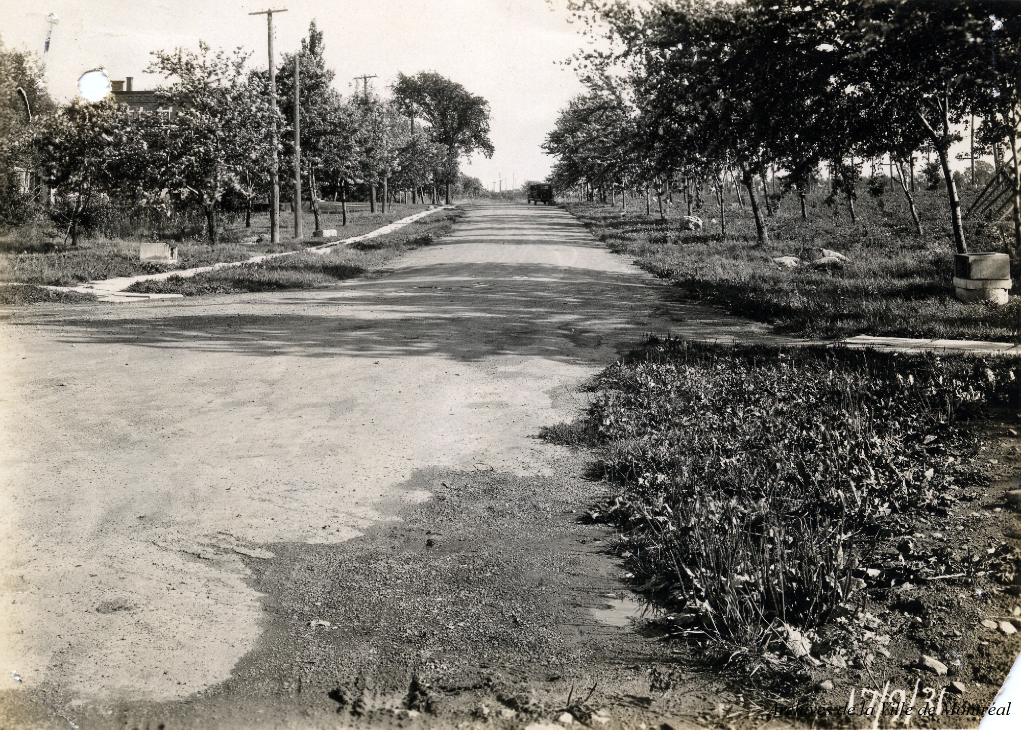
Below: Décarie looking south at Namur Street in 1931. Rows of apple trees still lined both sides of the street on the Décarie farm (credit: Archives de la Ville de Montréal).
The Décarie family (various spelling of Descary, Descarries, Décary, Décarie) has history in Ville-Marie/Montreal going back to 1600’s when granted land by The Sulpician Order. They had farms in Westmount and Notre-Dame-de-Grâce and north-west into the Côte-de-Liesse and Côte-Vertu areas. These farms had huge apple orchards, and grew tomatoes, cucumbers, corn and of course the famous Montreal Melon!
Anatole Décarie selling melons on Sainte-Catherine Street in 1910 (credit: Archives de la Ville de Montréal).
These were the famous Montreal Melons! Also known as The Montreal Nutmeg Melon or The Montreal Muskmelon. With an average weight of 10 to 12 pounds each (4.5 to 5.5 KG), many would be as much as 22 pounds (10 kg). As of 1900, there were about 25 farms on the island of Montreal (most were Décarie farms) that were growing these melons.

Some articles detailing the Montreal Melon overlaid on an 1879 Map of the area of this walk. You can see direct center the Decary farm stretching upwards at an angle…this is the present Décarie Expressway, and there were fields of these melons being grown amongst the apple orchards.


Lets get back onto Décarie Boulevard and start walking south again. Remember, we are on the east side of Décarie Boulevard.

Walking south along the east side of the Décarie Expressway.

Walking south along the east side of the Décarie Expressway.

Walking south along the east side of the Décarie Expressway.

Coming out from under the overpass, the sidewalk will merge onto Décarie Boulevard.

Off to our left, looking east, is McKenzie Street.

Keep walking south on Décarie Boulevard.

Walking south on Décarie Boulevard.

Walking south on Décarie Boulevard.

Walking south on Décarie Boulevard.

Walking south on Décarie Boulevard, coming up to Van Horne Avenue.

Intersection of Van Horne Avenue and Décarie Boulevard.

Fire Station No. 4 at 5260 Van Horne Avenue (built in 1950).

Fire Station No. 4 at 5260 Van Horne Avenue (built in 1950).

Turn left on Van Horne Avenue and walk east to Westbury Avenue.

Intersection of Van Horne and Westbury avenues.

Intersection of Van Horne and Westbury avenues, with Van Horne Park.

Intersection of Van Horne and Westbury avenues.

Intersection of Van Horne and Westbury avenues. The Yaldei School is on the south-west corner.

We can take a quick stroll thru the south end of Van Horne Park.

There is a Cricket Field here.

Some players are already on the Cricket Pitch playing a match…bowler and batsman ready to go…

The bowler is in action and just letting go of the ball…

Whack !…the batsman swings and makes contact with the ball. Great to see this game here in Montreal !

Walking thru Van Horne Park to get back onto Westbury Avenue.

Back on Westbury Avenue walking south.

Walking south on Westbury Avenue.

Continue walking south on Westbury Avenue and we see the Cummings Centre, a non-profit community centre.

Intersection of Westbury Avenue and Côte-Sainte-Catherine Road.

The Segal Centre for Performing Arts is here at the south-west corner of Côte-Sainte-Catherine Road and Westbury Avenue.

Taking a look north of Côte-Sainte-Catherine Road, you can see all the trees here from Mackenzie King Park.

Trail leading into Mackenzie King Park and its woods.

A memorial plaque titled Boisé Dora Wasserman, in honour of actress, playwright and theatre director Dora Wasserman (1919-2003).

Lets continue the walk along Westbury Avenue.

The Ben Weider Jewish Community Centre is on west side of Westbury Avenue.


Walking along Westbury Avenue at corner of Édouard-Montpetit Boulevard.

Walking along Westbury Avenue at corner of Lacombe Avenue.

Intersection of Isabella and Westbury avenues.

Turn right and walk down Isabella Avenue and follow along Westbury Avenue.

Turn left here and continue on Westbury Avenue.

Continue along Westbury Avenue.

Westbury Avenue, approaching Queen Mary Road.

Snowdon Metro is here, corner of Westbury and Queen Mary Road.

Intersection of Westbury Avenue and Queen Mary Road.

Queen Mary Road – looking west.

Queen Mary Road – looking east.

Queen Mary Road.

Queen Mary Road- crossing this intersection to Circle Road.

Intersection of Queen Mary and Circle roads.

Circle Road continues straight and also turn left and winds up this hill. We are going to turn left and walk up this little hill on Circle Road, headed to Iona Avenue.

Walking up Circle Road.

Intersection of Circle Road and Iona Avenue.

Intersection of Circle Road and Iona Avenue.

Lets walk down Iona Avenue.

Coming up to Iona School on the left.

Iona School.


Iona School, built in 1935-1937.

Iona School, dated 1930’s (credit: McCord Stewart Museum).

Walking under a pear tree here.


Head back onto Circle Road and walk south to your left.

Walking along Circle Road. It winds around on our way to Parc Maurice-Cullen.

Some great vegetation here.

Arriving at Parc Maurice-Cullen where Circle Road meets Mira Road.


Intersection of Circle and Mira roads.
We had mentioned earlier that we had heard whispers about “Snowdon Woods”. What was it? and where was it? Well, we believe it was at the end of the farmland that was owned by James Snowdon in this area. Up until the beginning of the 1900’s, this area was quite wooded. It stood between Villa Maria, the Décarie farmland and areas of Côte-des-Neiges. There is an embankment here that goes up to todays Bonavista Avenue, just off Côte-Saint-Luc Road. So that tells us that the farmland did not extend up that embankment. “Snowdon Woods” must have been along the bottom of the embankment, on the embankment and up above the embankment itself.

At Parc Maurice-Cullen, there are some stairs to follow…let’s go, shall we?

Parc Maurice-Cullen. Up the stairs.

Walk along the perimeter of the park.

Keep going thru the side of the park.

We exit the park on a public path, alongside this apartment building on Côte-Saint-Luc Road.

We exit the park on a public path, alongside this apartment building on Côte-Saint-Luc Road.

Looking back down at Parc Maurice-Cullen.

We exit the park on a public path, alongside this apartment building on Côte-Saint-Luc Road.

Turn left and walk up (east) on Côte-Saint-Luc Road.

Walking east on Côte-Saint-Luc Road.

Coming to intersection of Bonavista Avenue and on Côte-Saint-Luc Road.

Lots of apartment buildings here.


Intersection of Bonavista Avenue and Côte-Saint-Luc Road.


We will walk down Bonavista Avenue.

The road is a cul-de-sac and circles around.

“Snowdon Woods” would have been right up here on this cul-de-sac as well. This is the top of the embankment we saw earlier.

Bonavista Avenue circling around. To the side of this apartment building are some woods on the embankment.

Here are the woods, remnants of “Snowdon Woods”.


Circling around Bonavista Avenue, is this apartment building. Looking down from it’s driveway, you can get a better view of the embankment and Circle Road below.

Remnants of “Snowdon Woods” embankment with Circle Road below.

Remnants of “Snowdon Woods” embankment with Circle Road below.

To get an appreciation of where the “Snowdon Woods” would have been, below photo shows us Côte-Saint-Luc Road winding along, with the big apartment buildings as reference to where we turned off onto Bonavista Avenue. Villa Maria School is direct centre. “Snowdon Woods” must have been above that string of apartment buildings in the centre as that is where we found the embankment that leads up from Parc Maurice-Cullen. Photo is dated 1961. (credit: Armour Landry / BANQ).

Below newspaper clippings referencing “Snowdon Woods”.
The Gazette November 14, 1934; The Gazette November 13,1934; The Gazette December 28, 1928; The Gazette November 12,1883; The Gazette January 28, 1929.


Excerpt from 1907 map (The Publishing Company of the Island and City of Montreal Ltd.). The red circles are Snowdon Junction and Snowdon Avenue, the purple oval is Monkland Avenue, the blue circle is Villa Maria and the green oval is approximate where the “Snowdon Woods” were.

Let’s walk back out of Bonavista Avenue and head back to Côte-Saint-Luc Road.

We will walk back down Côte-Saint-Luc Road, the way we came up, heading toward Décarie Boulevard.

Walking down Côte-Saint-Luc Road heading toward Décarie Boulevard.

Walking down Côte-Saint-Luc Road heading toward Décarie Boulevard. As you can see, we are pretty high up here on Côte-Saint-Luc Road.

Walking under a fruit tree.


As we head down Côte-Saint-Luc Road, we see Marymount High School.

As we head down Côte-Saint-Luc Road, we see Marymount High School.

Some interesting facades on some of the apartment buildings here.


Continue walking down Côte-Saint-Luc Road heading toward Décarie Boulevard.

Some interesting facades on some of the apartment buildings here.


We now come to the intersection of Côte-Saint-Luc Road and Décarie Boulevard.

Turn left and walk south on Décarie Boulevard.

Former Monastery, built in 1911.

Former Monastery, built in 1911.

Arriving at Villa Maria Metro Station.

Villa Maria Metro Station.

Right beside the Metro Station is the entrance to Villa Maria School.

We end our walk here, at the intersection of Monkland Avenue and Décarie Boulevard, with the 103 Monkland bus departing Villa Maria Metro Station.

This concludes the Décarie Expressway walk! We hope you enjoyed it as much as we did.
– P O S T S C R I P T –
Below: Décarie Expressway, aerial view looking south in 1971 (credit: Gabor Szilasi & Gilles Langevin).
Imagine if the Décarie Expressway from Monkland Boulevard (Villa Maria Metro Station) all the way to Paré Street (Orange Julep) was totally covered on the top where exhaust pollution from cars was handled efficiently thru new technologies and the noise of the expressway was reduced dramatically. Imagine the Décarie Expressway totally covered on top, whereby, dedicated pedestrian and bicycle paths could take you up and down this full stretch of the city. Imagine a greenspace, like a flowing river that had bee and butterfly gardens with educational centres for children. Outdoor exercise spots, ice skating in winter, micro-parks and resting areas. Imagine permits given to vendors to sell food and drinks and electric charging stations with small businesses now thriving along the bordering boulevard. Imagine marketing this as a new focal point for tourism in Montreal. This initiative can be a reality if all levels of government bring in private investment and change the imagine into a reality.

Dear C&D, I thoroughly enjoyed this walk with you! Brings back many memories of places I have visited. There is so much history and yet you can see the changing landscape over time. I really like your idea of covering over the Decarie Expressway and creating a new landscape for the future! Thank you so much for sharing!
Thank you Lucianna. Glad you enjoyed the walk!