(image from Postcard 1911)
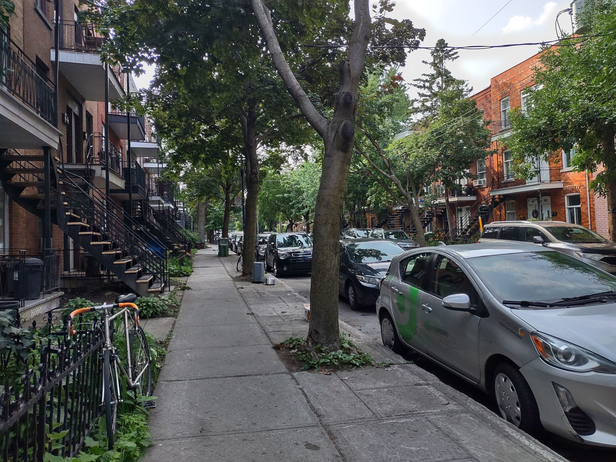
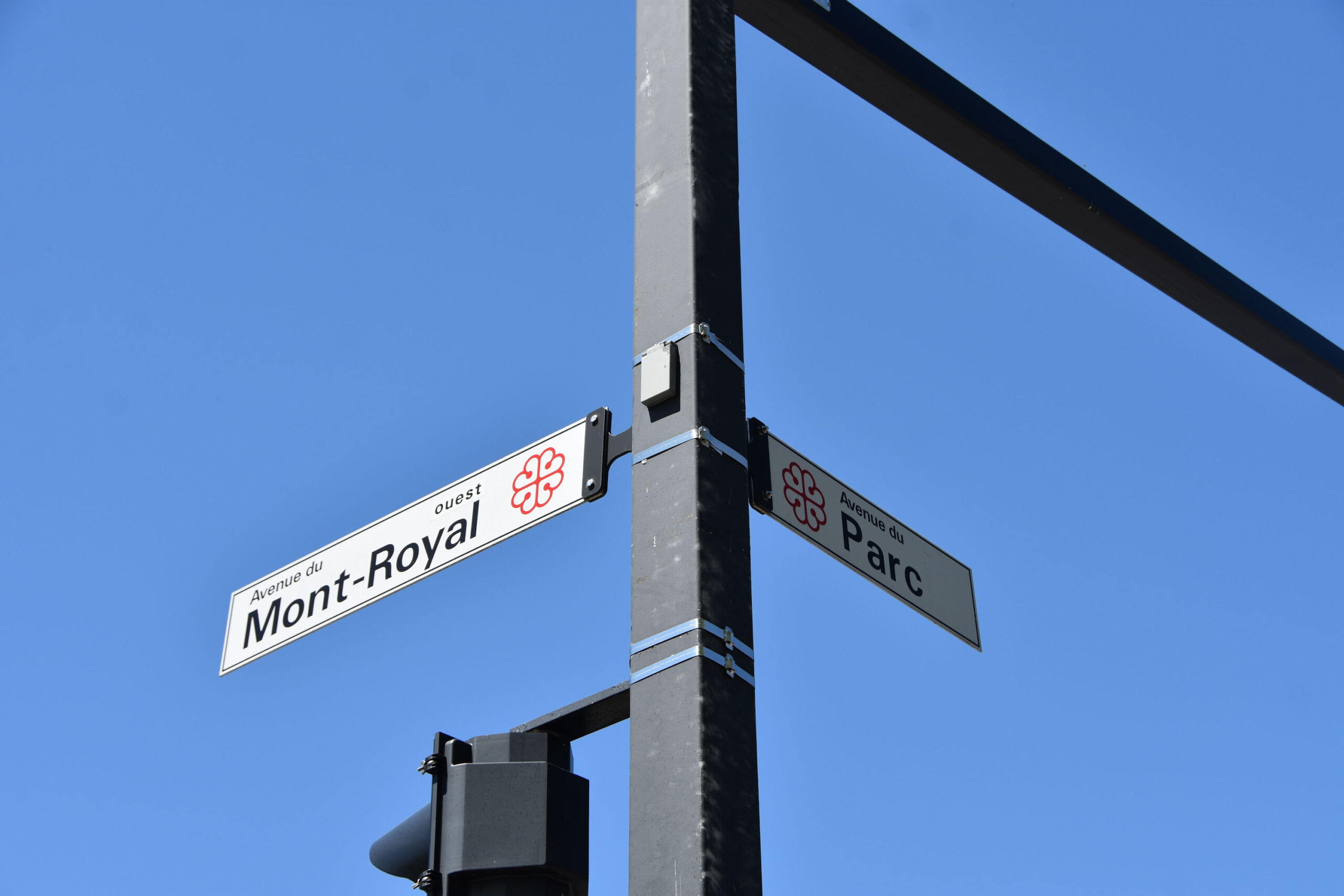
WalkMontreal is pleased to bring you an excellent walk thru vibrant Mile End neighbourhood, touching on it’s history while highlighting the streets and the culture found here. This area is influenced by French-Canadian, Eastern European, Greek, and Portuguese cultures amongst many others over the years. There has been a significant influence by Eastern European Jewish culture and today there is one of the largest Hassidic communities in the world who have made Mile End and neighbouring Outremont their home. Geographically, Mile End continues north into Montreal’s Little Italy area but this walk we are presenting is mostly bordered by Mont-Royal Avenue to the south, Saint-Laurent Boulevard to the east, Van Horne Avenue to the north and Park Avenue to the west.
Mile End may be the one neighbourhood most widely spoken about outside of the city. It’s beginnings can be traced back to meadows and farmland that were beyond the city limits and was roughly one mile from somewhere, possibly the city boundary to the Mile End cross roads of today’s St. Lawrence Boulevard and Mount-Royal Avenue. At these cross roads stood the Mile End Tavern on farmland, owned by John Clark and leased by Stanley Bagg. Nearby to the east was a tannery and a limestone quarry. Eventually a railway was brought into the area and a station was built in Mile End, officially opening in 1877, due to the efforts of Louis Beaubien and inspiration of Curé Antoine Labelle. There would be waves of immigration to this area in the 20th century, mainly Eastern European Jews, Greeks, Portuguese and Italians. The Italian community established itself in the section of Mile End north of the railway, creating their own Little Italy. A strong Hasidic community is also here. Mile End became a centre point for European food, the garment industry took root and now in the 21st century we see businesses in computer graphics/gaming and artificial intelligence established here, as well as artists and entrepreneurs of all types. Oh yes, the bagels!
C&D will walk Mile End and attempt to catch the essence of the neighbourhood, and even highlight some personalities, culture and alleys.
So join us as we walk the streets, highlight central characters, and stretch our legs. C & D did this walk on Saturday May 18, 2024 between11:35AM and 3:30PM. The temperature when starting was 22C (72 F) and when we finished it was 24C (75 F). It was sunny with few clouds and the terrain is mostly flat and the walk is a total of 7.5KM (4.6Miles). We used a Motorola one 5G ace phone, a DJI Osmo Pocket and a Nikon D3400 camera so there will be a difference in the standards and resolution of the images.
Warning: the railroad tracks at the former Mile End Train Station are owned by Canadian Pacific Rail and it is illegal and dangerous to cross them at non-designated public crossings. Do not walk across the railway tracks. Be aware that people have been struck by trains here. Be safe!
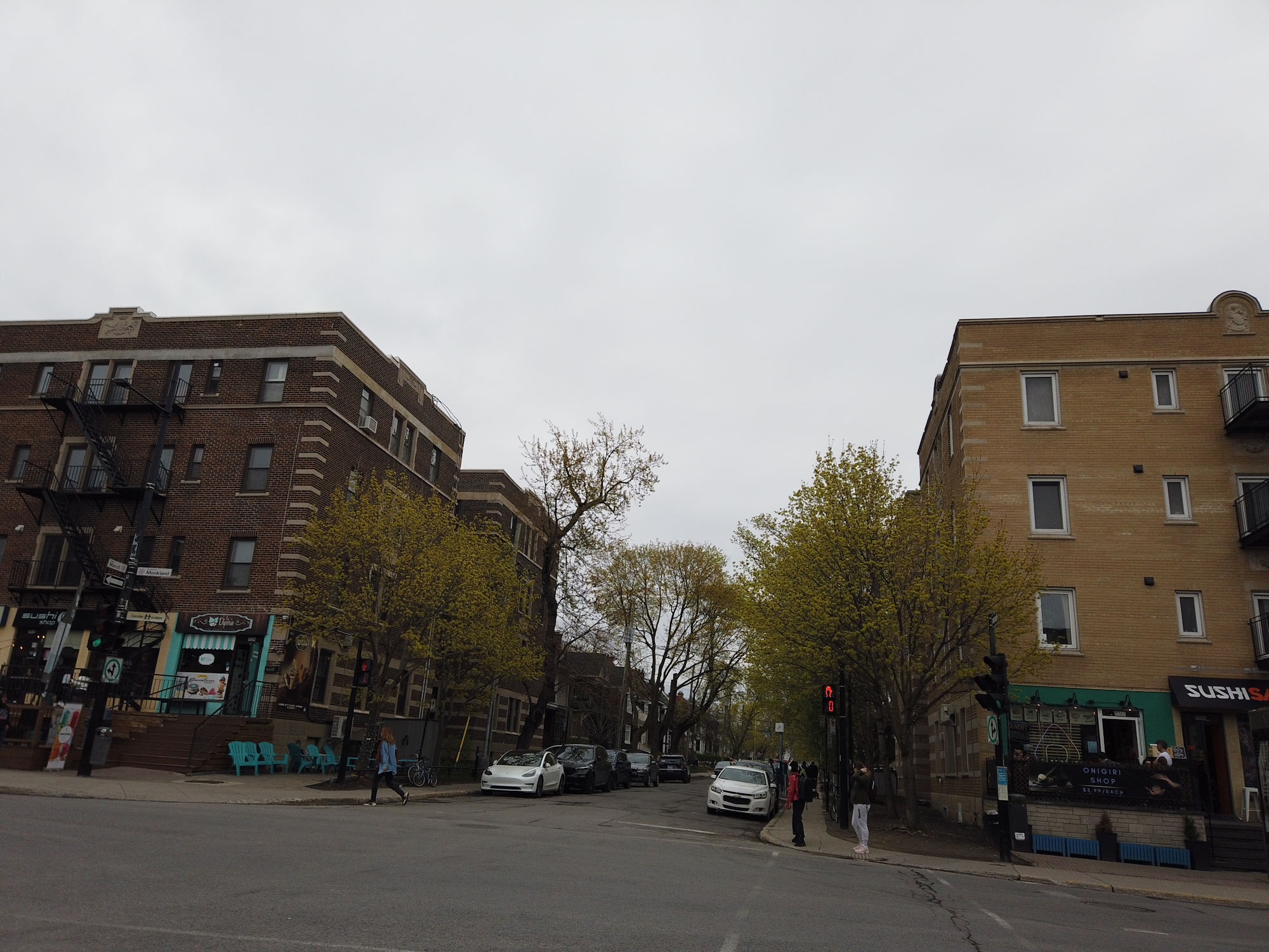
We start the walk at the south-east corner of Mont-Royal and Park avenues.
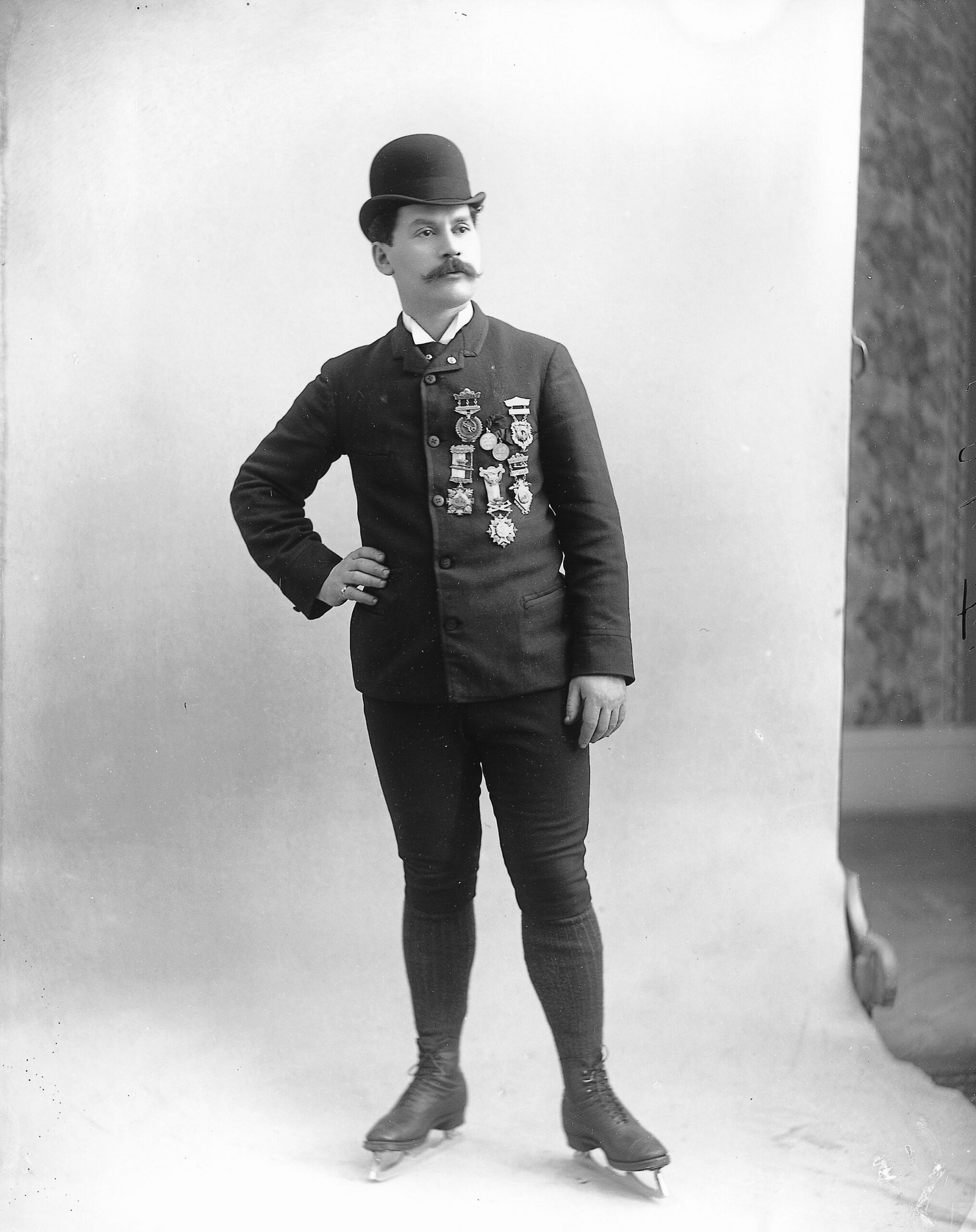
At this corner is the Louis Rubenstein Fountain dedicated to Louis Rubenstein, the world figure skating champion of 1890, athlete and city alderman. The fountain was a private initiative.


Louis Rubenstein (photo by Wm. Notman- 1893).
The Gazette, May 11 1939.

Mount Royal is off to the south-west.


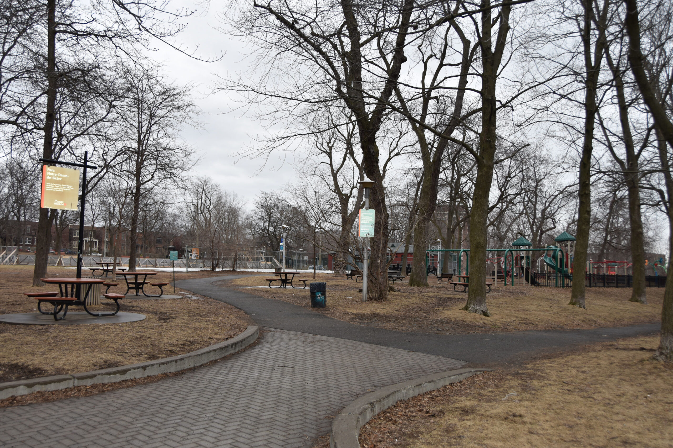
Jeanne-Mance Park (formerly known as Fletcher’s Field).

On north side of Mont-Royal Avenue, is the Sir Mortimer B. Davis Memorial Building / Young Men’s Hebrew Association (YMHA), built in 1928.


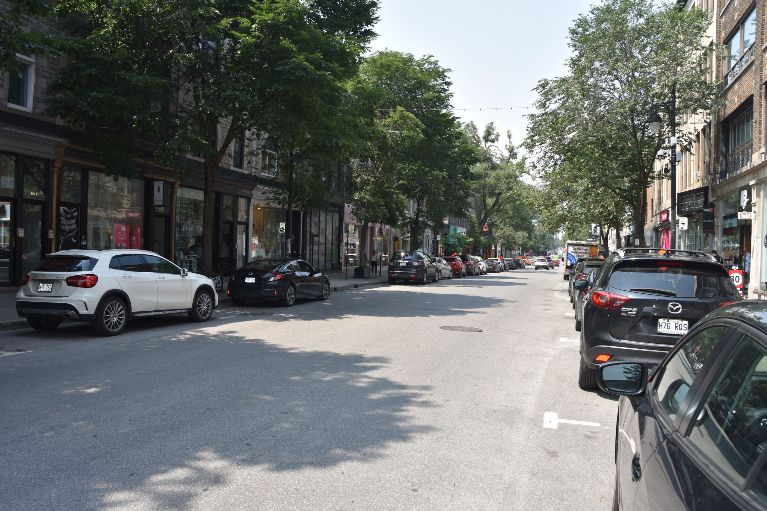
We are walking east along Mont-Royal Avenue.


Intersection of Mont-Royal Avenue and Saint-Urbain Street.


Beauty’s Luncheonette (93 Mont-Royal Avenue West). Founded by Freda and Hymie Sckolnick in 1942.


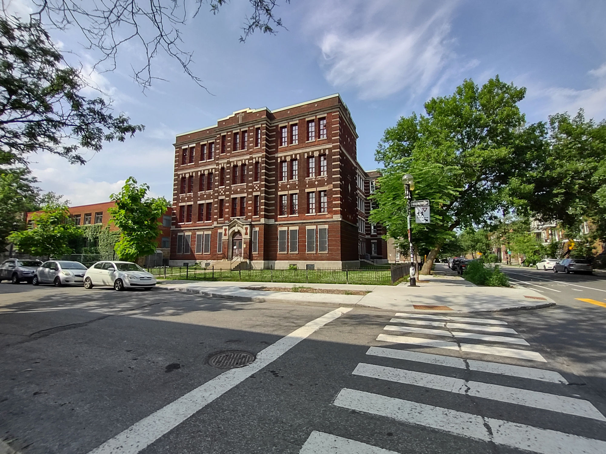
If you walk a few steps north on Saint-Urbain Street, you will see Bancroft School (4563 Saint-Urbain Street), built in 1915. This is one of the earliest classic Protestant schools in Montreal built in stone and brick with four floors.


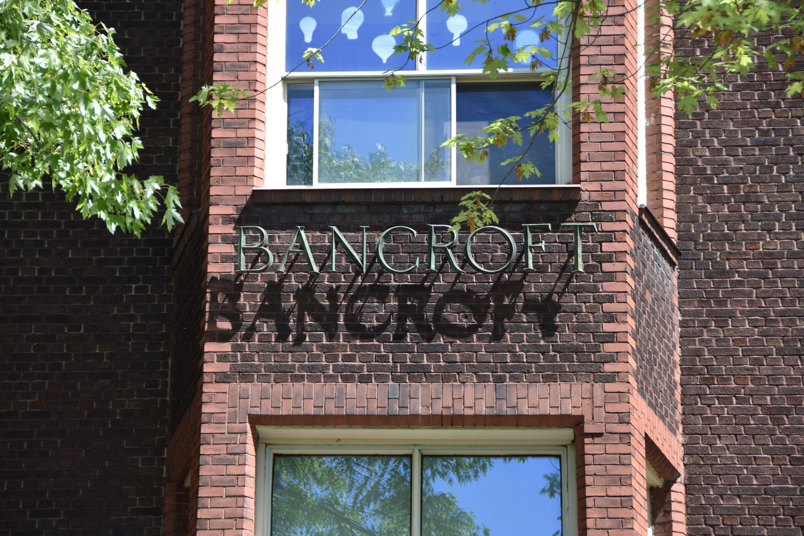
Montreal Daily Star September 11, 1915.

Turn around and head back to Mont-Royal Avenue and continue walking east to Saint-Laurent Boulevard.
Intersection of Mont-Royal Avenue and Saint-Laurent Boulevard. The Mile End Tavern stood at the north-west corner of this intersection. Early references to the Mile End Tavern are recorded and it is believed the name derives from an approximate mile from the Montreal city limits to this location or the land owner, John Clark who was from England, named it after Mile End in London. The Mile End Tavern was an inn and tavern combined, built in early 1800’s and demolished in early 1900’s.`

Intersection of Mont-Royal Avenue and Saint-Laurent Boulevard.

Looking north up Saint-Laurent Boulevard.

We continue our walk east on Mont-Royal Avenue to the corner of Coloniale Avenue.


We will walk south down Coloniale Avenue a few steps.

Coloniale Avenue.

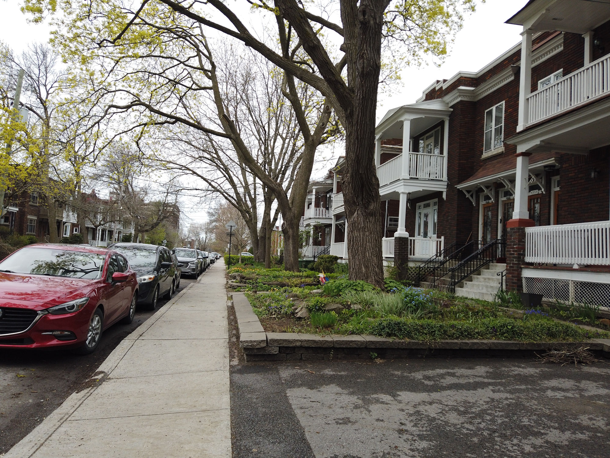
We are looking for 4466 Coloniale Avenue.

This is where the Weider family lived in the 1930’s, 1940’s and 1950’s.
In 1931, a 12 year old Joe Weider was tired of being bullied by bigger boys in these rough streets and he would head out with a makeshift grocery cart, walking north to the recently closed Mile End Train Station. He would scavenge the railyard, looking behind the station and on the tracks collecting old train axels and flywheels. Loading these solid iron pieces onto his cart, he made his way back home and started weightlifting with these crude pieces. Together, Joe and his brother Ben would launch “Your Physique” magazine from their home, create the International Fitness and Bodybuilding Federation and found their own sports and nutrition company, called Weider.

Joe Weider- 1940’s (credit: JoeWeider.com) Ben Weider (The Montreal Star March 14, 1964),


The first issue of “Your Physique” – Volume 1 No. 1 – August 1940. Published by Joe Weider.


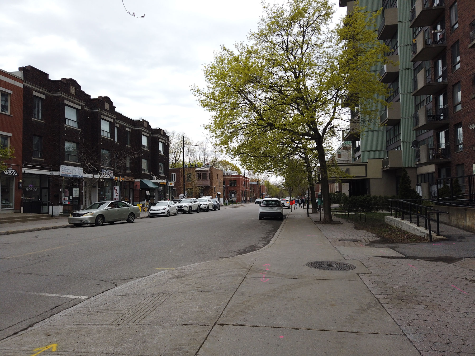
Let’s head back to Mont-Royal Avenue and walk north on Coloniale Avenue.

Walking north on Coloniale Avenue.

Walking north on Coloniale Avenue. Joe Weider probably came along here with his wagon on his way to Mile End Train Station in 1931.

Coloniale Avenue.

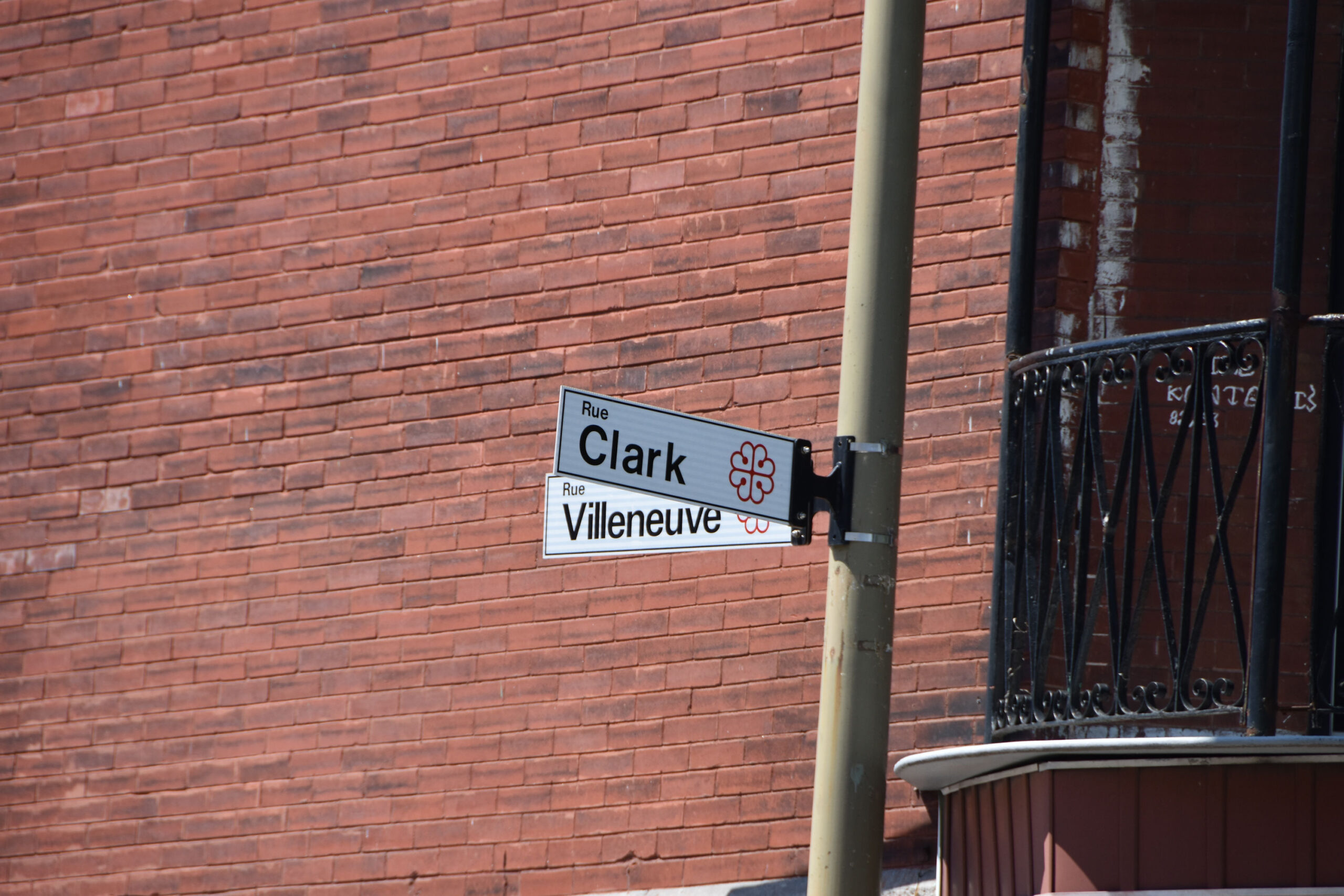
Intersection of Coloniale Avenue and Villeneuve Street. We are going to make a detour and walk west along Villeneuve to Clark Street.

Continue past Saint-Laurent Boulevard heading towards Clark Street.

Intersection of Villeneuve and Clark streets.

Walk a few steps south on Clark Street.

At 4673 Clark Street was where the actor Len Birman was born and raised. A talented actor, from our childhood we recall him as the voice of Robin Hood in the successful animated series “Rocket Robin Hood” (Kranz films) from 1966-1969. There was also a French language version titled “Robin Fusée”. From his early days in amateur theatre performing at the Van Horne School auditorium and Cafe Andre, Birman would have a career spanning almost 70 years in theatre, voice and motion pictures both in Canada and the United States.

Len Birman (credit: TMDB)

Clark Street.

Turn around and head back up Clark, back east on Villeneuve to Saint-Laurent Boulevard.

Intersection of Saint-Laurent Boulevard and Villeneuve Street.

Walk north on Saint-Laurent Boulevard.

Intersection of Saint-Laurent and St. Joseph boulevards.

St. Joseph Boulevard looking east with Église de Saint-Enfant-Jésus du Mile-End (built in 1857-1858).

On the east side we will pass by Parc Lahaie and Église de Saint-Enfant-Jésus du Mile-End (built in 1857-1858). .

Flashback to April 21, 2019 (pre-covid pandemic).

European Postcard, 1915.

Continue up Saint-Laurent Boulevard.

Intersection of Saint-Laurent Boulevard and Laurier Avenue West.

Fire Station No. 30 is in this beautiful chateau style building built in 1905. At the turn of the 20th century, city hall of the municipality of Saint-Louis du Mile-End was here.
A mural “Tribute to Mordecai Richler” can be seen on the neighbouring building (created 2016 by Dominique Desbiens /and Bruno Rouyère).

Looking west down Laurier Avenue, with Mount Royal in distance.

Continue walking north on Saint-Laurent Boulevard.

Continue walking north on Saint-Laurent Boulevard.


Intersection of Saint-Laurent Boulevard and Fairmount Avenue.

North-east corner of Saint-Laurent Boulevard and Fairmount Avenue.

South-east corner of Saint-Laurent Boulevard and Fairmount Avenue.

Saint-Laurent Boulevard.

Continue walking north on Saint-Laurent Boulevard.

Intersection of Saint-Laurent Boulevard and Maguire Street.

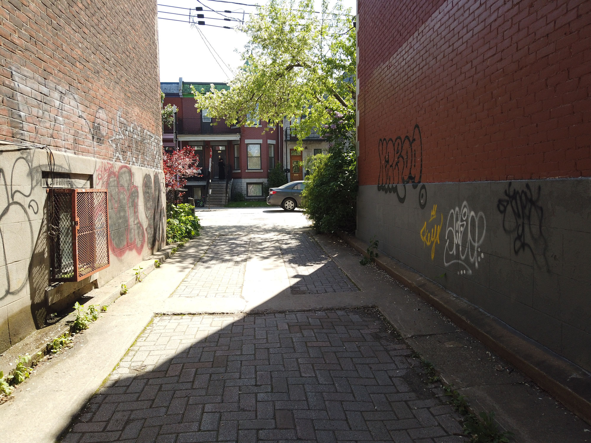
Saint-Laurent Boulevard…almost there, we are looking for “Phil’z Passage Secret”.

Ahhh…there it is on the left (west side of Saint-Laurent Boulevard, at the 5296 block).


Let’s walk thru it, shall we?

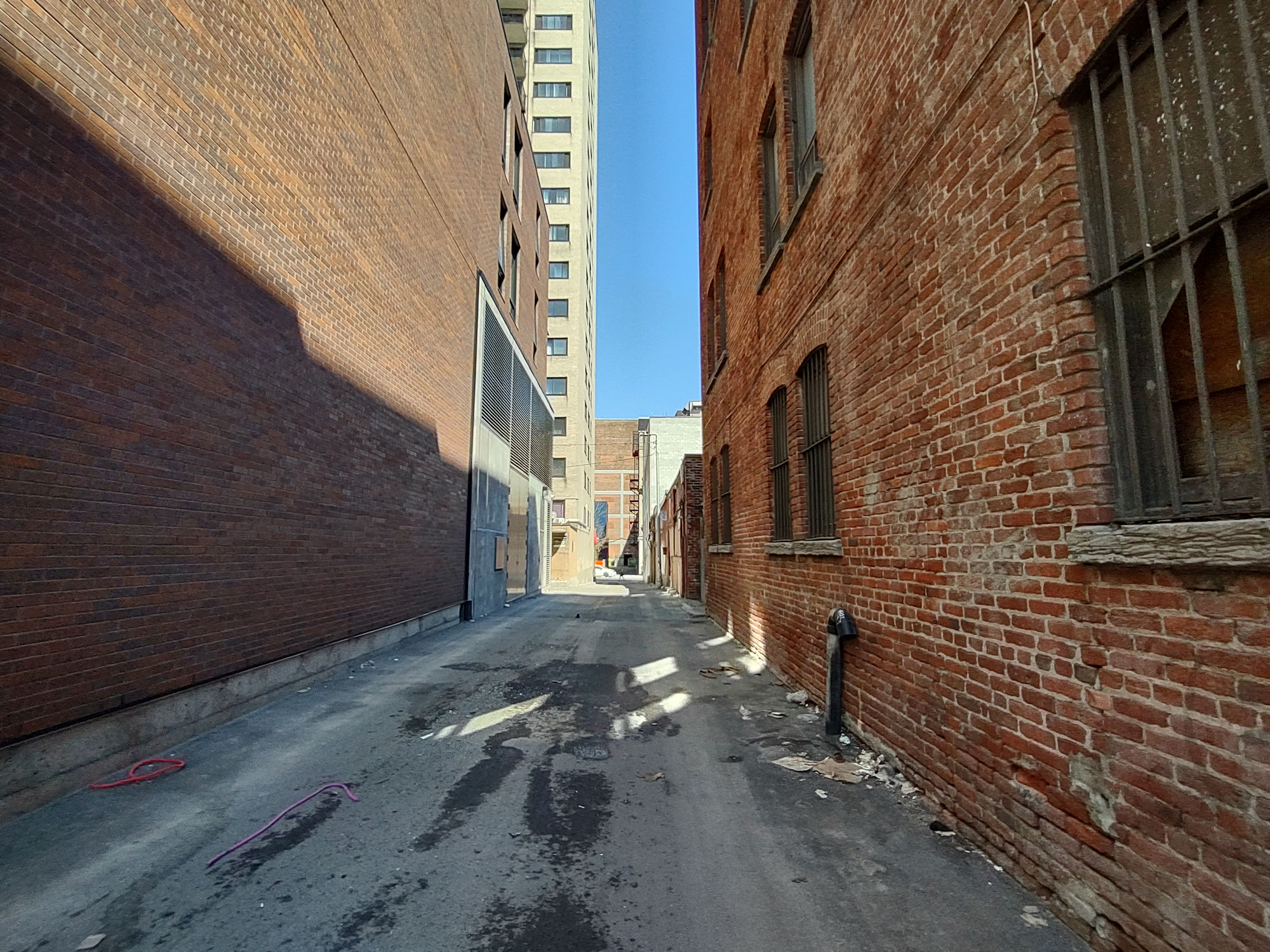
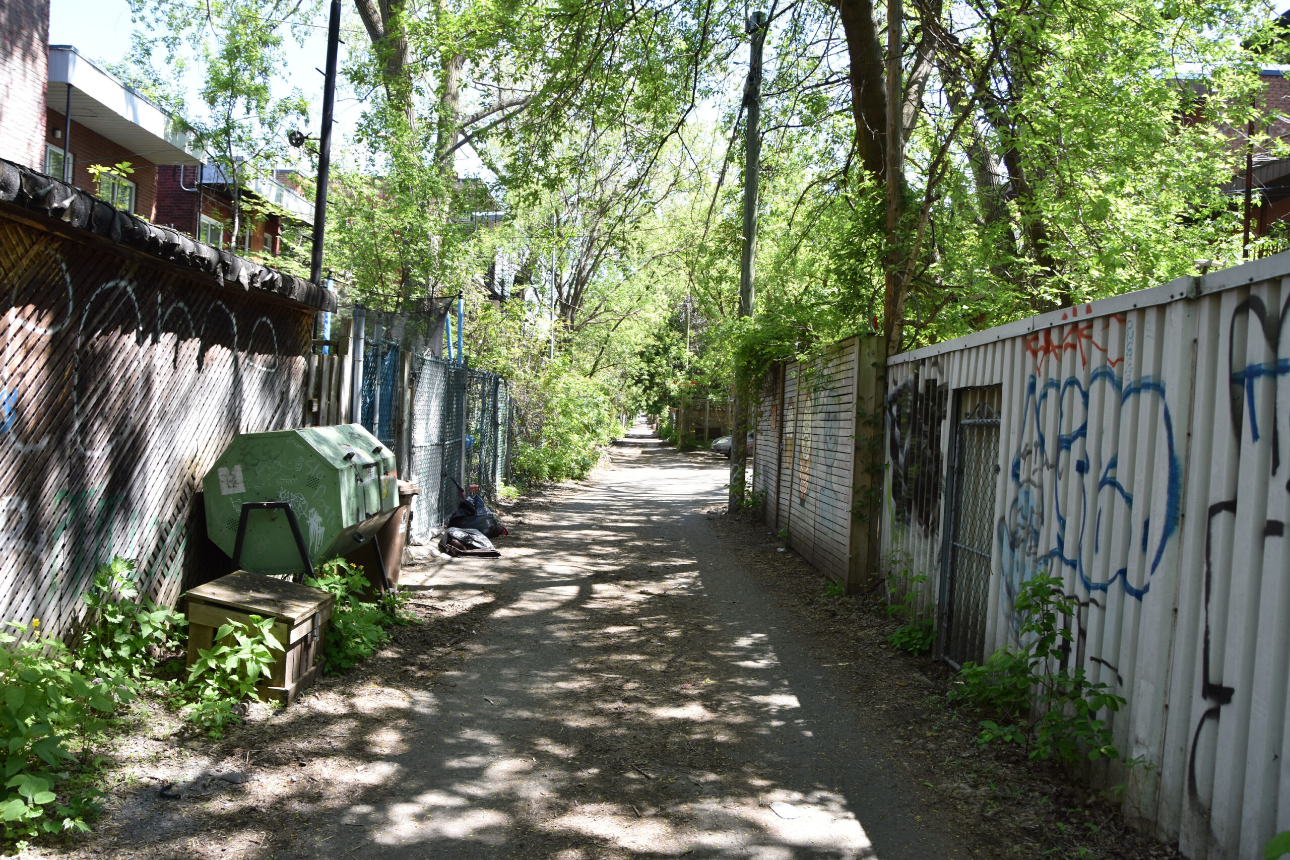
Once you go thru the secret passage, we will walk north thru the back lane behind Saint-Laurent Boulevard.

Walk north thru the back lane behind Saint-Laurent Boulevard.

Walking north thru the back lane behind Saint-Laurent Boulevard.

Exit the laneway onto Saint-Viateur Street.

Looking west down Saint-Viateur Street.

Intersection of Saint-Laurent Boulevard and Saint-Viateur Street.

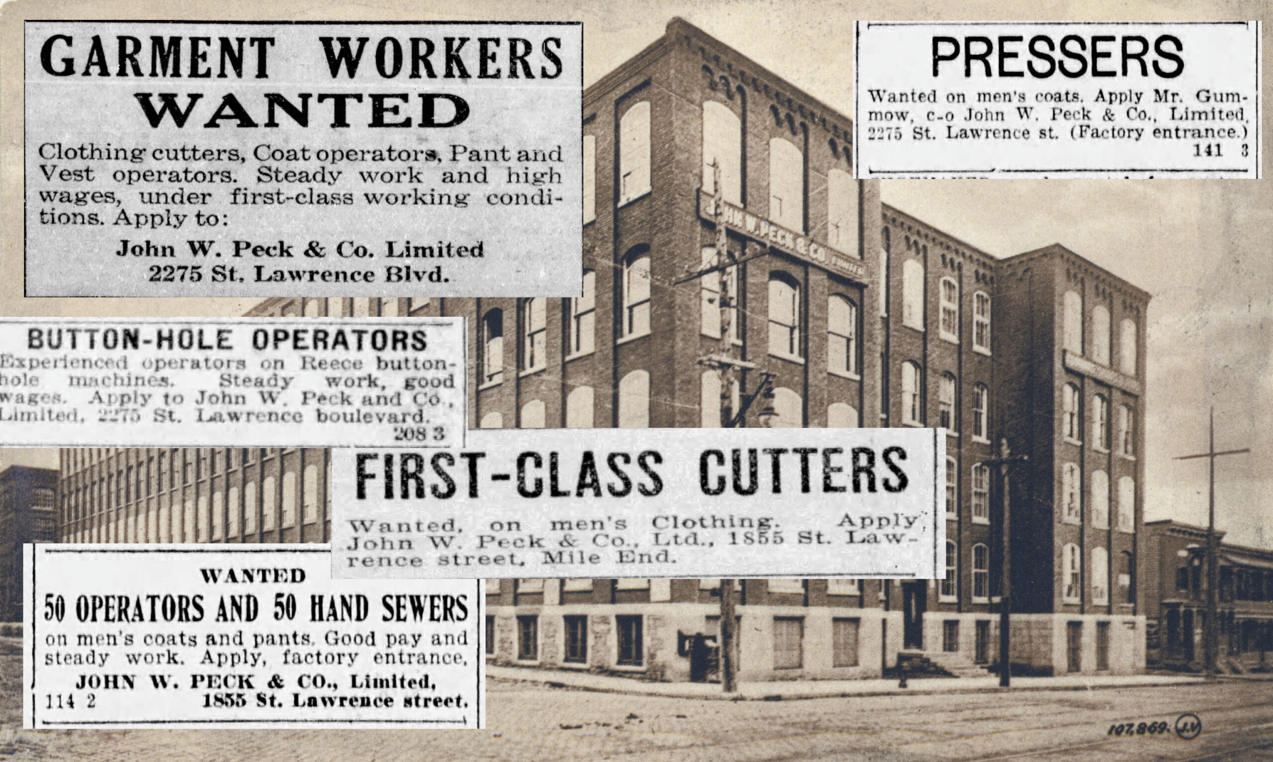
At the south-east corner of Saint-Laurent and Saint-Viateur is Ubisoft, a video game publisher from France.

Ubisoft is one of several high-tech industries that have made their presence in Mile End, including companies in artificial intelligence and gaming. Many of these old buildings, once home to the garment trade, are now repurposed for information technology companies.

The building was formerly the John W. Peck Shirt and Clothing Factory. Postcard (Valentine’s and Sons Ltd) circa 1910.

South-west corner of Saint-Laurent Boulevard and Saint-Viateur Street.

Let’s continue walking north on Saint-Laurent Boulevard. We are interested in the buildings up ahead on the left.

The red brick building at the end has three addresses: 5610, 5612 and 5614 Saint-Laurent Boulevard. In the 1911 Canada Census, the civic address scheme was different than today’s, and they used to be 2356, 2358 and 2360 St. Lawrence Boulevard. The Montreal municipal date of construction of this building is 1910. The building structure and location is the same as it was in 1911. Beside it lies Luke Callaghan School today. In 1911, a lumber yard occupied the space where the school is.
So on September 12, 1901 Samuel Bernstein was born in Montreal. The 1911 Census has a 9 year old Samuel Bernstein living at 2358 St. Lawrence Boulevard with his grandmother, parents and sister. (Today it would be 5612 Saint-Laurent Blvd.). Samuel would take on the first name of Benjamin and be known as Benjamin Bernstein. Eventually, the family (minus the father) made their way to the United States and, always interested in the performing arts, Samuel (Benjamin) Bernstein would become “Ben Blue”. Ben Blue won a comedy routine in Montreal at the age of eight, and was hooked from then on. He performed on the street, on the Vaudeville circuit, on Broadway, in Hollywood motion pictures and was a successful nightclub owner in California. His life in entertainment spanned over 60 years.

Ben Blue. His life in entertainment spanned over 60 years.

![]()

5610, 5612 and 5614 Saint-Laurent Boulevard, on far right. Ben Blue lived here as per 1911 Canada Census at the 5612 address.

Looking back south on Saint-Laurent Boulevard.

The back of Luke Callaghan School (originally called St. Michael’s School), built in 1922.

The No. 55 bus coming up Saint-Laurent Boulevard.
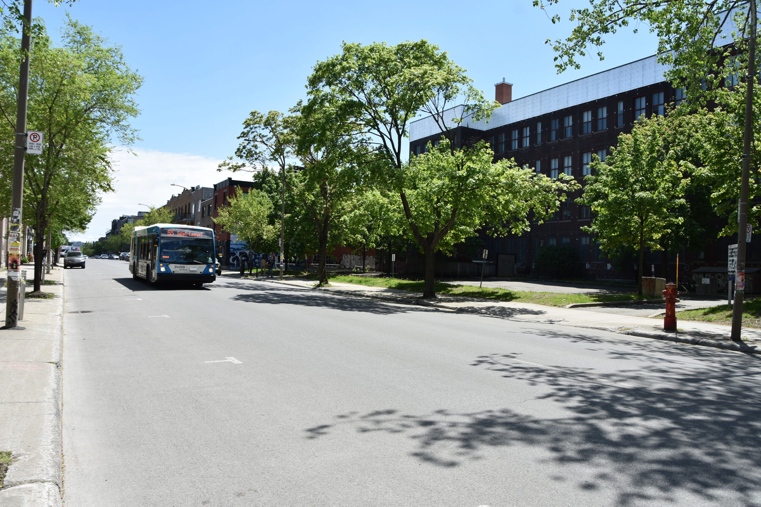
Continue walking north on Saint-Laurent Boulevard.

Saint-Laurent Boulevard.

Saint-Laurent Boulevard.

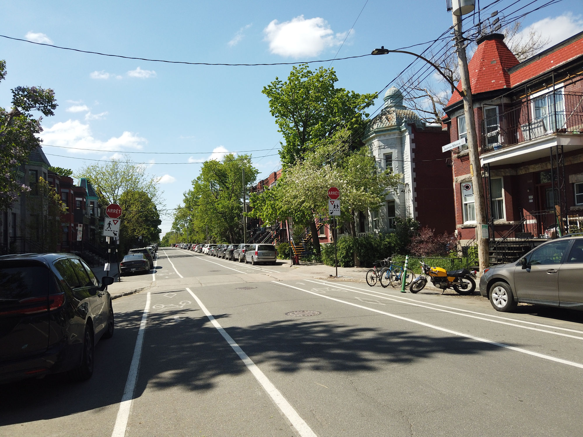
We now reach the corner of Bernard Street.

Intersection of Saint-Laurent Boulevard and Bernard Street.

We are going to make a right turn and walk east on Bernard Street.

Walk just one block east on Bernard Street.

Looking east on Bernard Street. Streetcar on Saint-Laurent Boulevard. Mile End Train Station can be seen in the background. 1937. (Les Archives de la Ville de Montréal ).

The Gazette (Montreal) March 8, 1877.

Mile End Train Station would have stood right in front of us across the street.

We reach the intersection of Bernard and Saint-Dominique streets.


Warning: the railroad tracks are owned by Canadian Pacific Rail and it is illegal and dangerous to cross them at non-designated public crossings. Do not walk across the railway tracks. Be aware that people have been struck by trains here. Be safe! The below photo’s were taken from the side of the fence and we did not cross the tracks to the other side.
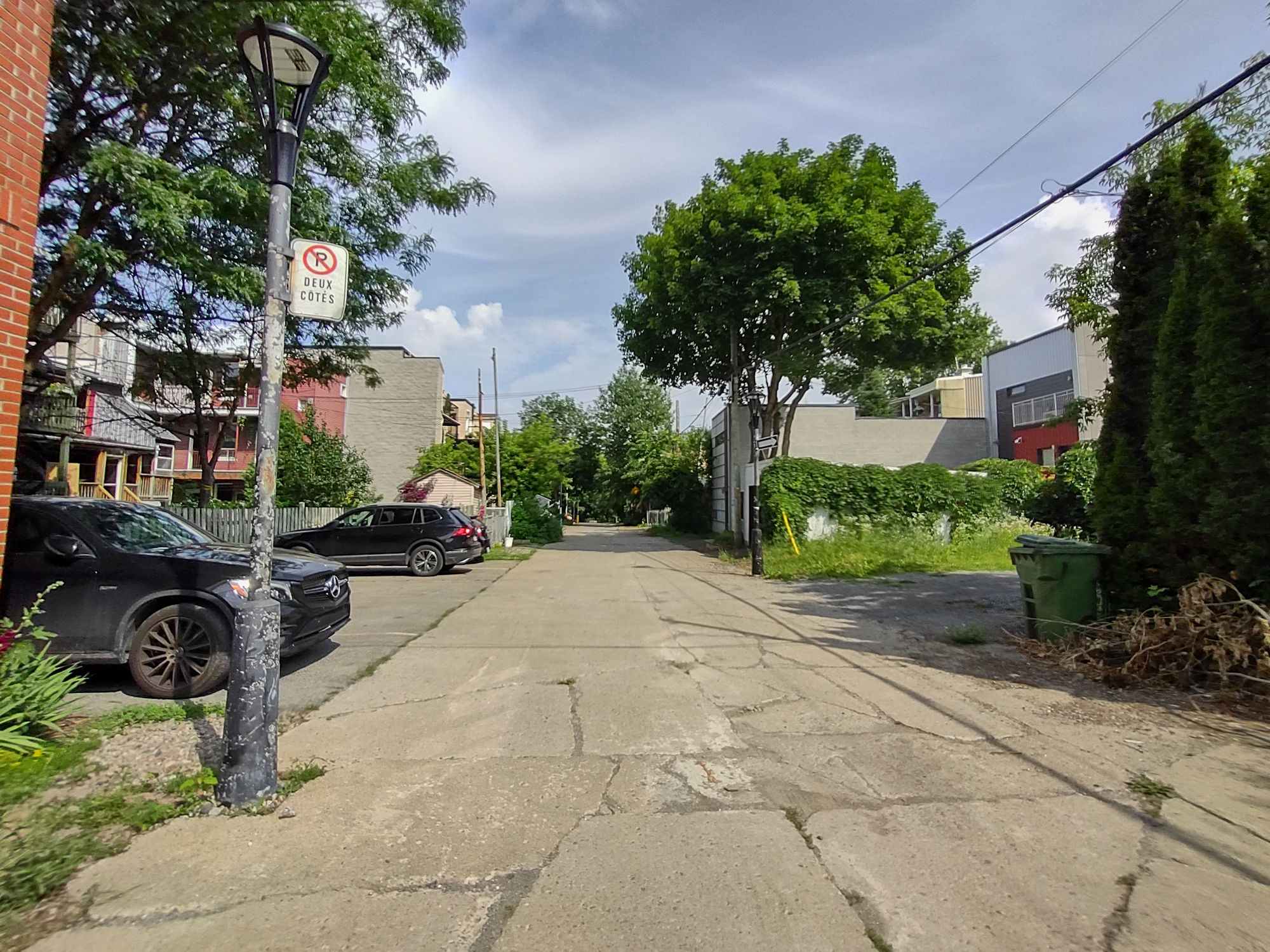
If we look at this area here, there are the railroad train tracks, the remnants of an old flea market, the site of the Mile End Train Station, the Van Horne Overpass and the skateboard park under the over pass.

There were two Mile End Train Stations. The first one was built in 1877. The second one was built in 1911. Mile End Train Station in 1970. (Photo by Robert Vandensteene / Les Archives de la Ville de Montréal )


On the north side of the railway was the Frontenac Brewery, founded by Joseph Beaubien. It was the first French-Canadian Brewery, calling itself “The Brewery of the People”. (The Gazette October 17, 1913).


Mile End Train Station first opened in 1877 and then a second train station was built in 1911 and closed in 1931, being replaced by the Jean-Talon Train Station in Park Extension. Mile End Train Station was demolished in 1971.
This is where a 12 year old Joe Weider came in 1931 after the station closed and searched for iron weights in the form of fly wheels and axels beginning the Weider empire.
Joe Weider, circa 1940 – the Father of Body Building. (Credit JoeWeider.com).


Mile End Train Station in 1970. (Photo by Robert Vandensteene / Les Archives de la Ville de Montréal )


The Beaubien family (Joseph, Senator Charles, and Louis) – 1903. (Library and Archives Canada Item # 4759429). The Beaubien family owned much of the land in the area and were instrumental in development of Mile End Train Station.

Underneath the overpass is the Van Horne Skate Park.


Walk back to Saint-Laurent Boulevard and at the corner of Cloutier Street are the stairs going up to the Van Horne Overpass.


Let’s take these stairs up to the top of the Van Horne Overpass.


From the top of these stairs you can get a view.

We are now on the Van Horne Overpass. The Van Horne Warehouse is seen with it’s iconic water tower. Off to the right of the warehouse (north) Mile End geographically continues up Saint-Laurent Boulevard into Mile-Ex and Little Italy.

Off to the right of the warehouse (north) Mile End geographically continues up Saint-Laurent Boulevard into Mile-Ex and Little Italy. (photo taken April 9, 2022 WalkMontreal).

Looking up the Van Horne Overpass towards Rosemont.

Some views of the rooftops of Mile End and Saint-Laurent Boulevard.


Make your way back down the stairs from the Van Horne Overpass and we will take a quick look at the Van Horne Warehouse.

This is where Van Horne Avenue begins.

Van Horne Warehouse (built in 1924). Van Horne Avenue begins on the left. Saint-Laurent Boulevard continues north under the CP railway into Mile-Ex and Little Italy.

“St. Lawrence Street Subway” – International Postcard Inc. 1911.

City of Montreal did a good job with the bike path, shielded by a concrete median from cars.


Turn around and go back under the Van Horne Overpass and we will walk west on Arcade Street.

Intersection of Arcade Street and Boulevard Saint-Laurent.

Walking west on Arcade Street, we can see the laneway behind Saint-Laurent Boulevard.


We now come to the corner of Arcade and Clark streets.


Turn right and walk to the end of Clark Street.

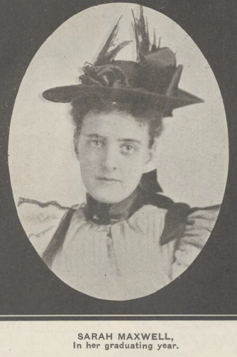
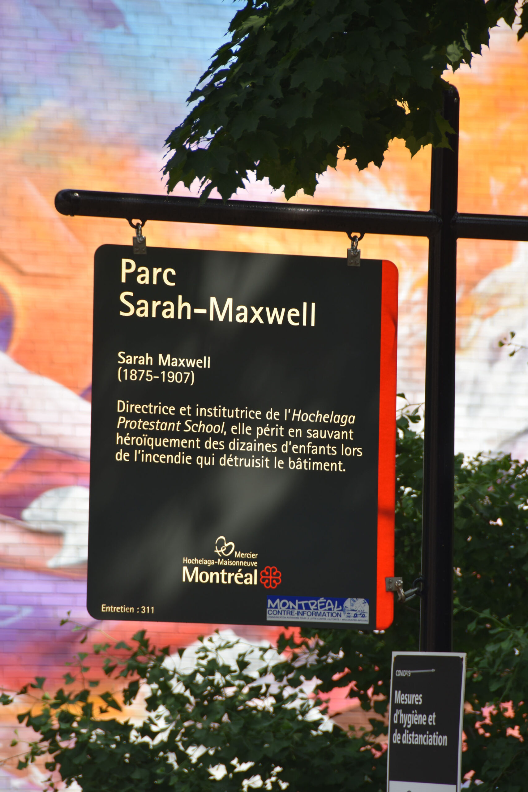
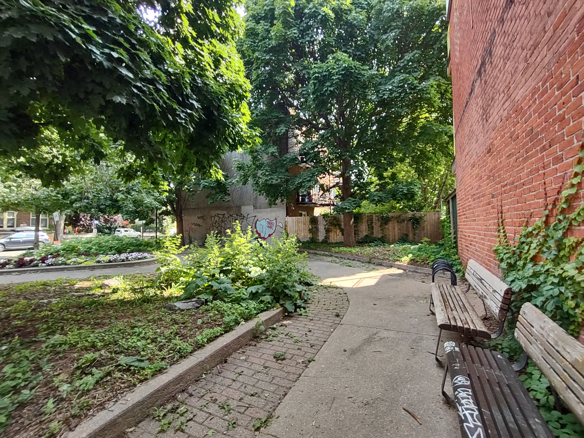
We come to Parc Lhasa-De-Sela. Named in tribute to American-Canadian singer-songwriter, Lhasa de Sela. Lhasa adopted Mile-End as her home in Montreal. Some say Mile-End adopted her. She left us way to soon.

Lhasa de Sela (credit: Canadian Press).

Parc Lhasa-De-Sela

We can see the Van Horne Warehouse.

Along the northern perimeter of Parc Lhasa-De-Sela is a path that takes us west to Saint-Urbain Street and Van Horne Avenue.

Walk west on this path, it will take us over Saint-Urbain Street.

This is the green space we are walking thru.

Continue walking west thru this green space. It runs parallel to the Van Horne Overpass.

The No. 161 Van Horne bus.

Intersection of Van Horne Avenue and Saint-Urbain Street

On the north side of Van Horne Avenue is the incredible “Twilight Sculpture Garden” by artist Glen LeMesurier.

“Twilight Sculpture Garden” by artist Glen LeMesurier.

“Twilight Sculpture Garden” by artist Glen LeMesurier.


On the south side of Van Horne Avenue, opposite the Sculpture Garden in this building is the recording studio, hotel2tango. A long list of artists have recorded here, including Arcade Fire and Lhasa de Sela.

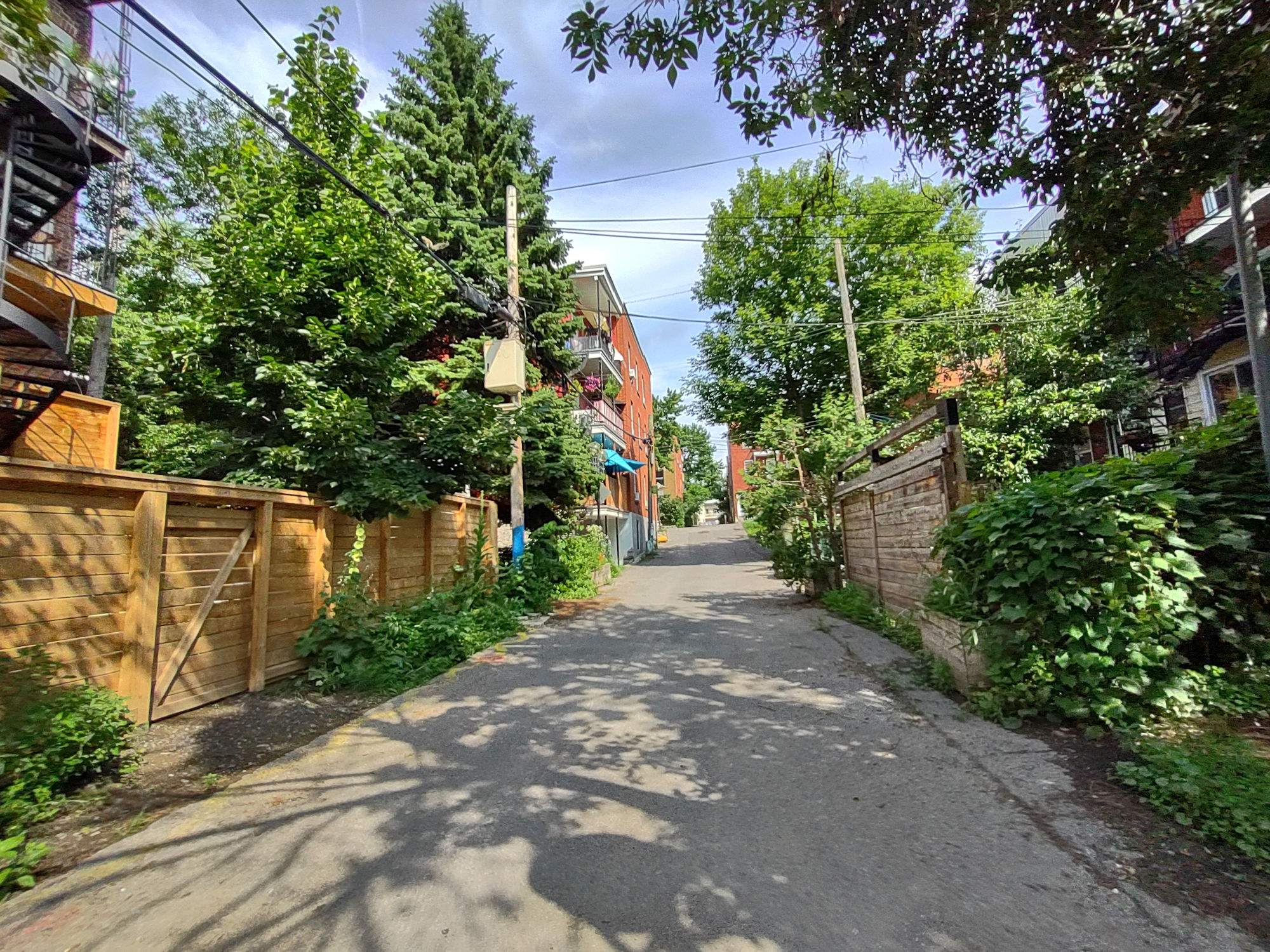
On the side of hotel2tango is a beautiful Ruelle Verte , but, we are going to walk down another one close by.

Walking west on north side of Van Horne Avenue.

Walking west on north side of Van Horne Avenue.

Walking west on north side of Van Horne Avenue.

At Waverly Street, cross over and walk south down the alley between Waverly Street and Esplanade Avenue.

Walking south down the alley between Waverly Street and Esplanade Avenue.

Walking south down the alley between Waverly Street and Esplanade Avenue.
We exit the alley on Bernard Avenue.

Walk a few steps west to the intersection of Bernard Street and Esplanade Avenue.

Intersection of Bernard Street and Esplanade Avenue.

We will walk north on Esplanade Avenue, heading back to Van Horne Avenue,

Walking north on Esplanade Avenue.

Walking north on Esplanade Avenue.

Esplanade Avenue.

We come to the old Edward Vll School (built in 1912). It was also one of the early brick and stone Protestant schools in Montreal.

Edward Vll School (built in 1912).

Edward Vll School (built in 1912).

Montreal Daily Star, February 8, 1913.


We are back on Van Horne Avenue at corner of Jeanne-Mance Street.

We are walking over to Park Avenue. We see the Bovril Building at the south-east corner.

Bovril Building (built in 1922) at 6201 Park Avenue.

Entrance to the Bovril Building on the right. Park Avenue continues north to Park Extension. We are headed south on Park Avenue.

Intersection of Van Horne and Park avenues.

Let’s start walking south on Park Avenue.

Walking south on Park Avenue.

We are now at the intersection of Park Avenue and Bernard Street.

Looking east down Bernard Street.

Continue south on Park Avenue. This is the fabulous Rialto Theatre (built in 1923) at 5723 Park Avenue.

The Rialto Theatre (built in 1923) at 5723 Park Avenue.

Interior of Rialto – 1924 (Credit: La Presse / BANQ).

The Rialto Theatre (built in 1923) at 5723 Park Avenue.

We are on the west side of Park Avenue walking south.

Park Avenue looking south.

North End Motor Sales Co. at 5622-5638 Park Avenue in 1930. (McCord Stewart Museum).

The No. 80 bus on Park Avenue.

Continue walking south on Park Avenue.

We come to intersection of Park Avenue and Saint-Viateur Street.

We are going to cross over Park Avenue and walk east on Saint-Viateur Street.

“St. Viateur Bagel Shop” (263 Saint-Viateur West). Founded in 1954 by Myer Lewkowicz.


South side of Saint-Viateur Street with alley.

Looking down the alley.

Continue walking east on Saint-Viateur Street. This is the corner of Jeanne-Mance Street.

Walking east on Saint-Viateur Street.

Walking east on Saint-Viateur Street.

Continue walking east on Saint-Viateur Street. This is the corner of Esplanade Avenue.


Crossing Esplanade Avenue.

Looking north up Esplanade Avenue.

Continue walking east on Saint-Viateur Street.

Continue walking east on Saint-Viateur Street.

This is the corner of Waverly Street.


Saint-Viateur and Waverly streets.


Continue walking east on Saint-Viateur Street.

We come to the corner of Saint-Urbain Street.


Corner of Saint-Viateur and Saint-Urbain streets.

South side of Saint-Viateur Street.

Corner of Saint-Viateur and Saint-Urbain streets.

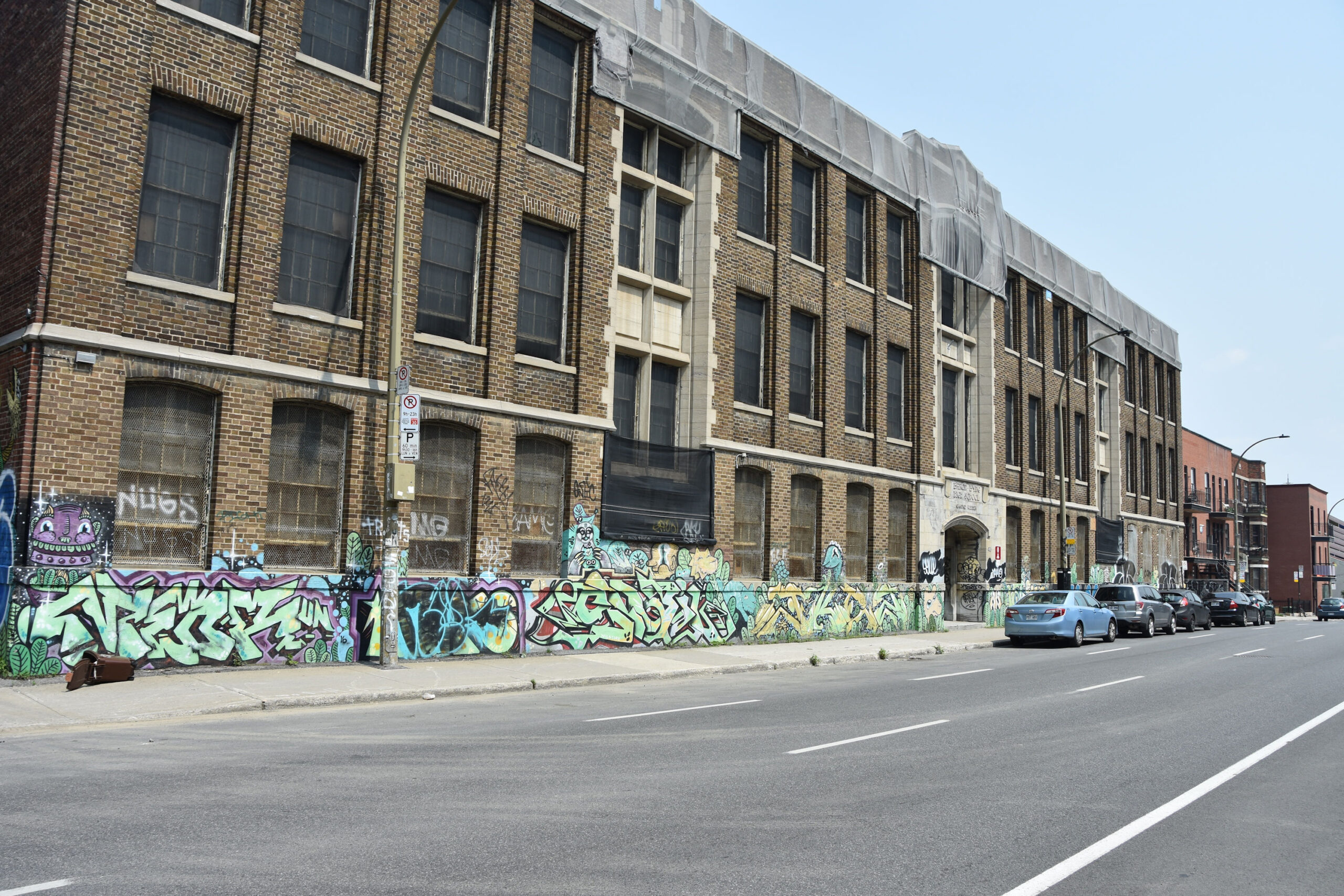
The Church of St. Michael and St. Anthony (built in 1915) at 5580 Saint-Urbain Street.

The Church of St. Michael and St. Anthony (built in 1915) at 5580 Saint-Urbain Street.

The Church of St. Michael and St. Anthony (built in 1915) at 5580 Saint-Urbain Street.

We will now start walking south on Saint-Urbain Street.

Walking south on Saint-Urbain Street.

Walking south on Saint-Urbain Street.

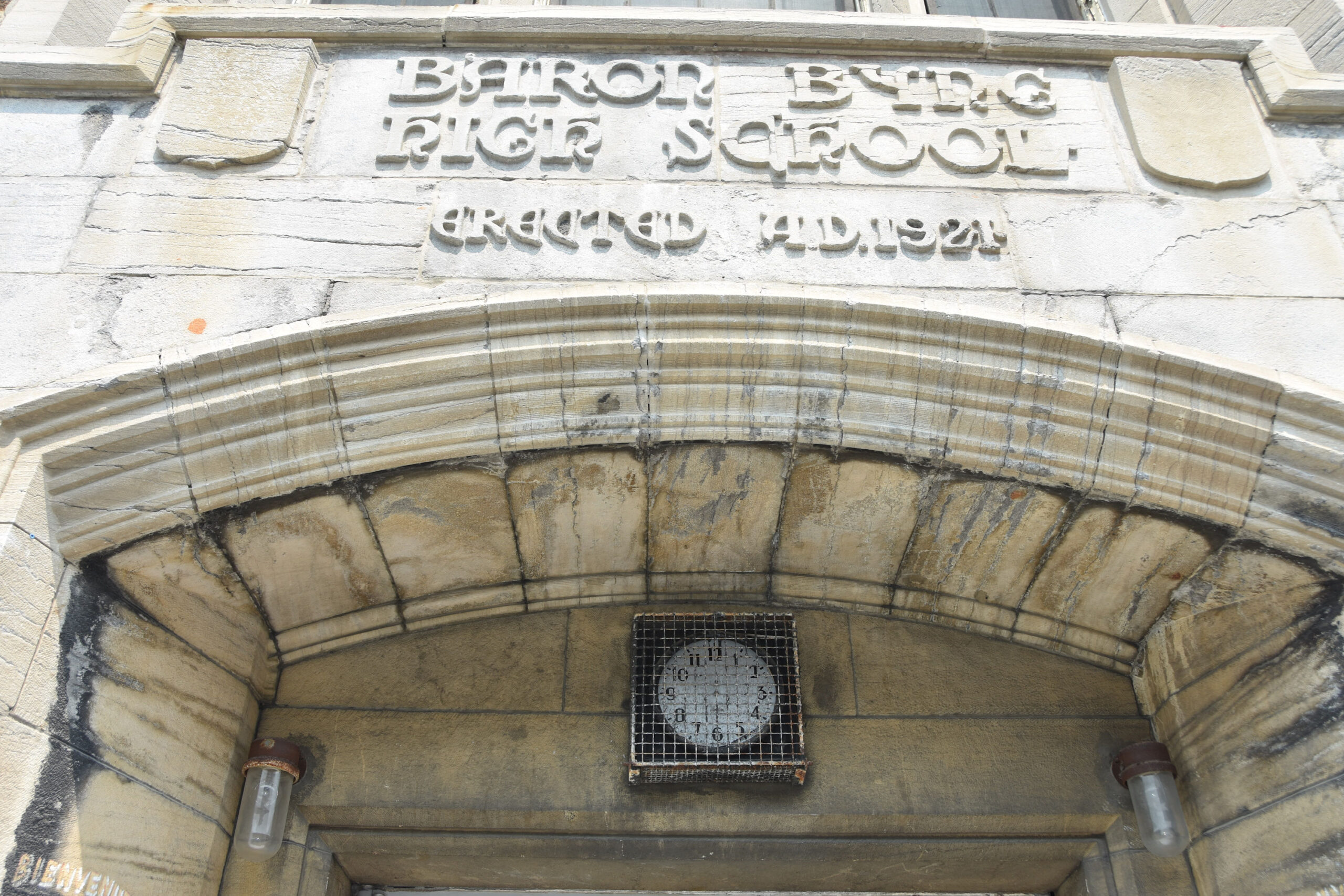
At 5257 Saint-Urbain Street, Mordecai Richler grew up as a young child and teenager. Much of his writings were about Saint-Urbain Street, Mile-End, Baron Byng High School and more from his childhood neighbourhood.

Mordecai Richler, 1957 (credit: Horst Ehricht / Library and Archives Canada Item # 3611430).


Coming to the intersection of Saint-Urbain Street and Fairmount Avenue.

Turn left (heading east) on Fairmount Avenue.

Walking east on Fairmount Avenue.

Fairmount Bagel at 74 Fairmount Avenue West. In 1919 Isadore Shlafman opened the first bagel shop in Montreal in a lane behind The Main, called the Montreal Bagel Bakery. He would move his bagel shop to Fairmount Avenue in 1949 and renamed it “The Original Fairmount Bagel Bakery”.


Laneway going north-south from Fairmount Avenue.

Walking east on Fairmount Avenue.

Intersection of Fairmount Avenue and Clark Street.

“Wilensky(‘s) Light Lunch” at 34 Fairmount Avenue West. Opened in 1932 by Moe Wilensky at the west side of Clark and Fairmount, it moved to its current location in 1952.

Fairmount Avenue and Clark Street, with Wilensky(s).

Fairmount Avenue and Clark Street, with Wilensky(s).

“The Apprenticeship of Duddy Kravitz” – 1974 movie filmed in Montreal. Story by Lionel Chetwynd, based on the 1959 novel by Mordecai Richler. Directed by Ted Kotcheff. Starred Richard Dreyfuss, Micheline Lanctôt, Randy Quaid, Joseph Wiseman and others. Joseph Wiseman was born less than a mile away.
The Montreal Star April 11, 1974.

Filming on location – The Montreal Star April 6, 1974.

Here comes Duddy Kravitz (played by Richard Dreyfuss)…and into Wilensky’s he goes… (Stills from “The Apprenticeship of Duddy Kravitz” ).


The interior of Wilensky(s) is virtually unchanged since it opened at it’s present location in 1952. (photo taken in 2015 by WalkMontreal).

Looking east on Fairmount Avenue.

Looking east on Fairmount Avenue.

Fairmount Avenue and Clark Street, with Wilensky(s).

Fairmount Avenue and Clark Street.

We are now going to walk south on Clark Street. Nice bike lane here.
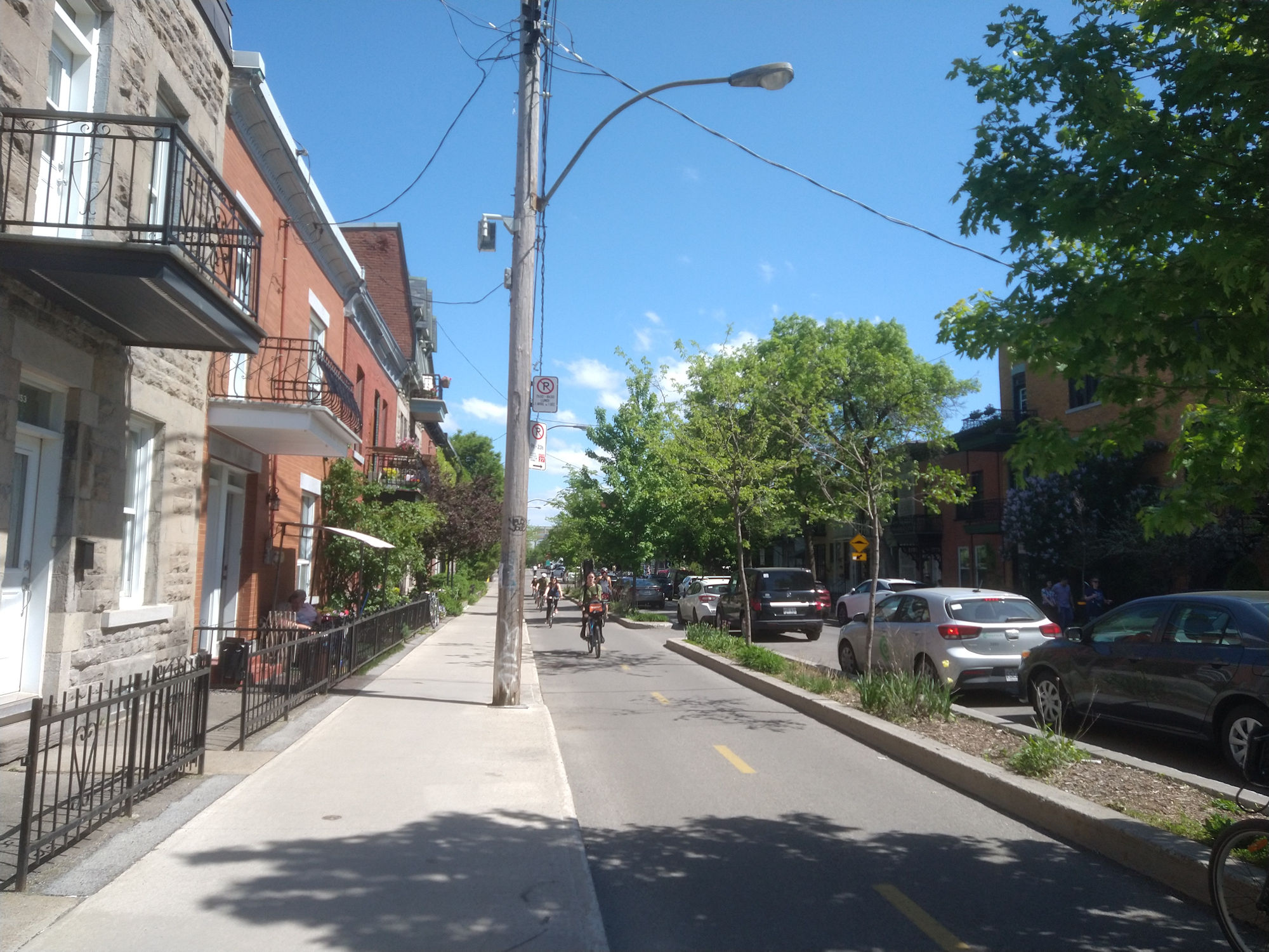
Walking south on Clark Street.

Coming up to the intersection of Laurier Avenue.

Just before the intersection of Laurier Avenue, on the east side is a car wash with a Ruelle Verte behind it. We will cross over and walk along that green alley.

Enter the Ruelle Verte here and walk thru it.

Walking thru the Ruelle Verte.

Exiting the Ruelle Verte on Saint-Urbain Street.

Exiting the Ruelle Verte on Saint-Urbain Street.

We are on Saint-Urbain Street again, but, we want to cross over and make our way to the small street called Clermont Avenue.

Watch out for traffic and cars and cross at the crosswalk.

Intersection of Saint-Urbain Street and Clermont Avenue.

We are on Clermont Avenue walking east on it.

Clermont Avenue only runs for one block, so we will arrive at Esplanade Avenue in a few steps.


Intersection of Clermont and Esplanade avenues.

Turn right and walk north on Esplanade Avenue to the corner of Fairmount Avenue.


We are back on Fairmount Avenue with some historic buildings around us.

Collège Français building at 185 Fairmount Avenue West. This building was previously Fairmount Model School, it was built in 1897 and then an annex was added in 1908 becoming Fairmount School. Throughout the early part of the 1900’s, Jewish students were the majority. In 1922, the enrollment of pupils at Fairmount School reached an incredible 1,631 pupils. Ben Blue attended school here. Collège Français purchased the building in 1966 and modified the facade.

Collège Français building at 185 Fairmount Avenue West. This building was previously Fairmount Model School, it was built in 1897 and then an annex was added in 1908 becoming Fairmount School. Throughout the early part of the 1900’s, Jewish students were the majority. In 1922, the enrollment of pupils at Fairmount School reached an incredible 1,631 pupils. Ben Blue attended school here. Collège Français purchased the building in 1966 and modified the facade.

Collège Français building at 185 Fairmount Avenue West. This building was previously Fairmount Model School, it was built in 1897 and then an annex was added in 1908 becoming Fairmount School. Throughout the early part of the 1900’s, Jewish students were the majority. In 1922, the enrollment of pupils at Fairmount School reached an incredible 1,631 pupils. Ben Blue attended school here. Collège Français purchased the building in 1966 and modified the facade.

Fairmount School, Postcard circa 1910’s.

Collège Français building at 172 Fairmount Avenue West. This building was previously the B’nai Jacob Synagogue, built in 1920-1921, and was the largest synagogue in Canada at the time. Collège Français purchased the building in 1964.

Collège Français building at 172 Fairmount Avenue West. This building was previously the B’nai Jacob Synagogue, built in 1920-1921, and was the largest synagogue in Canada at the time. Collège Français purchased the building in 1964.

Montreal Daily Star, January 29, 1921.

Fairmount Avenue.

Fairmount Avenue.

Fairmount Hall (built in 1907) at 221 Fairmount Avenue West. It also served as the local Young Men’s Christian Association (YMCA). The building needs to be cleaned up.


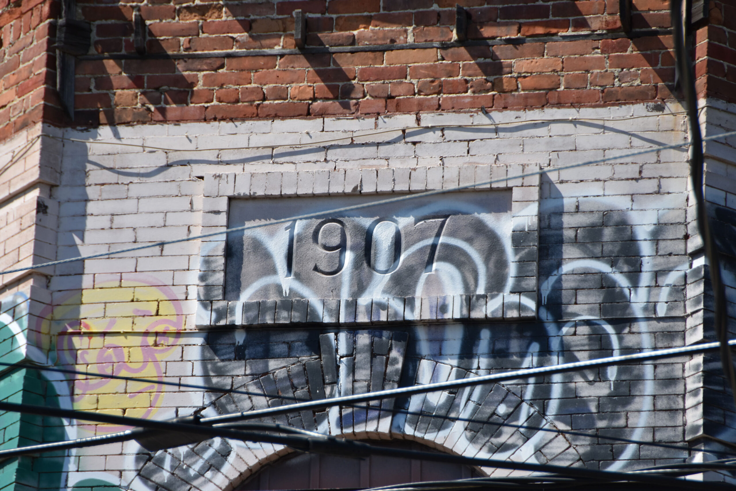
Fairmount Hall, showing the YMCA entrance on far right entrance. Postcard circa 1910.

Fairmount Hall (built in 1907) at 221 Fairmount Avenue West. It also served as the local Young Men’s Christian Association (YMCA). The building needs to be cleaned up.


Turn around and go back to Fairmount and Esplanade avenues. Then walk north on Esplanade Avenue.

Walking north on Esplanade Avenue.

Walking north on Esplanade Avenue.

Walking north on Esplanade Avenue.

We are looking for Groll Street (it’s a Ruelle Verte).

Enter Groll Street on the west side of Esplanade Street and walk thru it headed west towards Jeanne-Mance Street.

Walking thru Groll Street (a Ruelle Verte).

Walking thru Groll Street (a Ruelle Verte).

Now exiting Groll Street onto Jeanne-Mance Street.
Jeanne-Mance Street.

Jeanne-Mance Street.

Jeanne-Mance Street, at the stop sign on right is where we exited Groll Street.
We will start walking south on Jeanne-Mance Street, back towards Fairmount Avenue.

Walking south on Jeanne-Mance Street.

When you get to Fairmount Avenue, walk one block west to Park Avenue.

Intersection of Fairmount and Park avenues.

Intersection of Fairmount and Park avenues.

Walk south on Park Avenue and we will come to the old Regent Theatre (built in 1915) at 5117 Park Avenue.

The old Regent Theatre (built in 1915) at 5117 Park Avenue.

Intersection of Park and Laurier avenues.

The old Regent Theatre (built in 1915) at 5117 Park Avenue.

Opening of The Regent with a seating capacity of 1,200. The great Montreal pianist, Willie Eckstein was at the piano for live music! (The Montreal Star March 4, 1916).

The No. 80 bus coming up Park Avenue.

Intersection of Park Avenue and Saint-Joseph Boulevard.

Walking south in Park Avenue.

Keep walking south on Park Avenue.

Here comes another No. 80 bus.

In 1974, a movie titled “Mousey” was filmed in Montreal. Directed by Daniel Petrie and written by John Peacock. It had an excellent cast, including Kirk Douglas, Jean Seberg and John Vernon. One scene has Mousey (played by Douglas) exiting a taxi and walking up these stairs on the east side of Park Avenue between Saint-Joseph Boulevard and Villeneuve Street.

San Francisco Examiner March 3, 1974.

Here comes George Anderson (played by Kirk Douglas) in a taxi down Park Avenue…(Stills from “Mousey”).


The buildings are striking in a very unique way as are most of the buildings on Park Avenue.

Continue down Park Avenue and at the intersection of Villeneuve Street, we see the Pierrefonds Apartments (built in 1910) at 294 Villeneuve Street.

Montreal Daily Star, March 11, 1911 highlighting “Progress in the North End”.

Approaching Mont-Royal Avenue.

We are now at Mont-Royal Avenue.

Intersection of Park and Mount-Royal avenues.


And returning to the Rubenstein Fountain, we now see lots of sun bathers in Jeanne-Mance Park.

This concludes the Mile End Walk. We hope you enjoyed it as much as we did. More walks to come!