(above image of Turcot Interchange and the city, 1978 – credit: Daniel Lessard)
WalkMontreal is pleased to bring you “Days of Past Revisited; People and Unfolding Urbanism 2”. Join C and D as they embark on an intriguing walk that will highlight urbanism, the past and those that walked these streets before us. From Cabot Square, down thru Saint-Henri, along the edges of the Ville Marie Expressway and back thru lower Westmount. The walk gives us some history and insight into two different solitudes. We will also highlight Saint-Henri’s own, Percy Rodrigues, who went on to Hollywood fame.
The walk was completed on Sunday June 1, 2025. Start time: 9:30AM Finish time: 2PM (including a 15 minute pause). The temperature at start of walk was 8C and when we ended the walk it was 12C. It was cloudy with some rain. Please follow below map for the route taken.
WalkMontreal est heureux de vous présenter “Days of Past Revisited; People and Unfolding Urbanism 2”. Rejoignez C et D pour une promenade fascinante qui mettra en lumière l’urbanisme, le passé et ceux qui ont arpenté ces rues avant nous. Du square Cabot, en passant par Saint-Henri, le long de l’autoroute Ville-Marie et de retour par le bas de Westmount. Cette promenade nous offre un aperçu de l’histoire et de deux solitudes différentes. Nous mettrons également en lumière Percy Rodrigues, originaire de Saint-Henri, qui est devenu célèbre à Hollywood.
La marche a été complétée le dimanche 1er juin 2025. Heure de départ : 9 h 30 Heure de fin : 14 h (avec une pause de 15 minutes). La température au début de la promenade était de 8 °C et à la fin, elle était de 12 °C. Il faisait nuageux avec un peu de pluie. Veuillez suivre la carte ci-dessous pour connaître l’itinéraire emprunté.
We start here at Atwater Avenue and De Maisonneuve Boulevard West.
Nous commençons ici à l’avenue Atwater et au boulevard De Maisonneuve Ouest.

Alexis Nihon. Built 1965-1967, with additional builds since. When it opened in 1967, it was the first mall in North America to have three floors.
Alexis Nihon. Construit entre 1965 et 1967, avec d’autres constructions depuis. Lors de son ouverture en 1967, c’était le premier centre commercial en Amérique du Nord à avoir trois étages.

Looking west down De Maisonneuve Boulevard.
En regardant vers l’ouest sur le boulevard De Maisonneuve.

Looking south down Atwater Avenue.
Regard vers le sud sur l’avenue Atwater.

North-west corner with Atwater Metro entrance at the back of Dawson College.
Coin nord-ouest avec l’entrée du métro Atwater à l’arrière du Collège Dawson.

Looking south down Atwater Avenue. We are going to enter the Alexis Nihon shopping plaza now.
Regard vers le sud sur l’avenue Atwater. Nous allons maintenant entrer dans le centre commercial Alexis Nihon.

Entering the Alexis Nihon shopping plaza. It is quiet inside right now as it is a Sunday morning.
En entrant dans le centre commercial Alexis Nihon. C’est tranquille à l’intérieur en ce moment parce que c’est un dimanche matin.

Alexis Nihon shopping plaza.
Centre commercial Alexis Nihon.


Plaza Alexis Nihon. 1970.


Alexis Nihon shopping plaza. We will exit here onto Atwater Avenue.
Centre commercial Alexis Nihon. On va sortir ici sur l’avenue Atwater.

Walk south on Atwater Avenue. The former Forum is on the left. The Forum was where the Montreal Canadiens played hockey from 1924 thru 1996.
Marchez vers le sud sur l’avenue Atwater. L’ancien Forum est à gauche. Le Forum était l’endroit où les Canadiens de Montréal ont joué au hockey de 1924 à 1996.
The former Forum is a National Historic Site of Canada, due to its history as a sporting venue. Hockey, concerts, gatherings…all held here for over 70 years. There are now theatres in it, a few eating spots and some of its space is leased to Dawson College.
L’ancien Forum est un lieu historique national du Canada en raison de son histoire en tant que lieu sportif. Le hockey, les concerts, les rassemblements… tout y est depuis plus de 70 ans. On y trouve maintenant des théâtres, quelques restaurants et une partie de son espace est louée au Collège Dawson.

Spectators in The Forum watching a Montreal Maroons hockey match against the New York Americans. March 12, 1938.
Spectateurs au Forum assistant à un match de hockey des Maroons de Montréal contre les Americans de New York. Le 12 mars 1938.

The Montreal Canadiens playing the Philadelphia Flyers. October 24, 1970.
Les Canadiens de Montréal affrontent les Flyers de Philadelphie. Le 24 octobre 1970.

The Montreal Canadiens playing les Nordiques de Québec. 1980.
Les Nordiques de Québec aux Canadiens de Montréal. 1980.

The Forum.
Le Forum.

Rolling Stones fans waiting to buy tickets at The Forum (credit: The Montreal Star June 17 1966).
Les fans des Rolling Stones attendent pour acheter des billets au Forum (crédit : The Montreal Star, 17 juin 1966).

Getting ready for The Who rock concert. May 7, 1980 (credit: D Courville / La Presse).
Préparation pour le concert rock The Who. 7 mai 1980 (crédit : D Courville / La Presse).

Now crossing over Sainte-Catherine Street West to Cabot Square.
Traversée maintenant de la rue Sainte-Catherine Ouest jusqu’à la Square Cabot.
Alexis Nihon as viewed from south-east corner.
Alexis Nihon vu du coin sud-est.

Cabot Square. You can access the Atwater Metro Station here as well.
Square Cabot. Vous pouvez également vous rendre à la station de métro Atwater ici.

Cabot Square.
Square Cabot.

The Vespasiennes in Cabot Square. There are a handful of these structures around the city. They were a 1930’s Depression-era project initiated by Mayor Camillien Houde.
Les Vespasiennes de la Square Cabot. Il y a une poignée de ces structures dans la ville. Il s’agit d’un projet de l’époque de la Grande Dépression des années 1930 lancé par le maire Camillien Houde.


The statue of Giovanni Caboto, presented to the city in May 1935.
La statue de Giovanni Caboto, offerte à la ville en mai 1935.


We will exit Cabot Square at corner of Atwater Avenue and Tupper Street.
Nous sortirons de Cabot Square au coin de l’avenue Atwater et de la rue Tupper.

Across the street on Atwater Avenue is the Atwater Library. Opened in 1926 as the Mechanics Institute of Montreal.
De l’autre côté de la rue, sur l’avenue Atwater, se trouve la bibliothèque Atwater. Ouverte en 1926 sous le nom d’Institut de mécanique de Montréal.


Looking back at Cabot Square.
Regard sur Cabot Square.

South-east corner of Atwater Avenue and Tupper Street.
Coin sud-est de l’avenue Atwater et de la rue Tupper.

Western Hospital at south-east corner of Atwater Avenue and Tupper Street – July 4, 1945 (credit: C. Poirier).
Hôpital Western au coin sud-est de l’avenue Atwater et de la rue Tupper – 4 juillet 1945 (crédit : C. Poirier).

South-east corner of Atwater Avenue and Tupper Street.
Coin sud-est de l’avenue Atwater et de la rue Tupper.

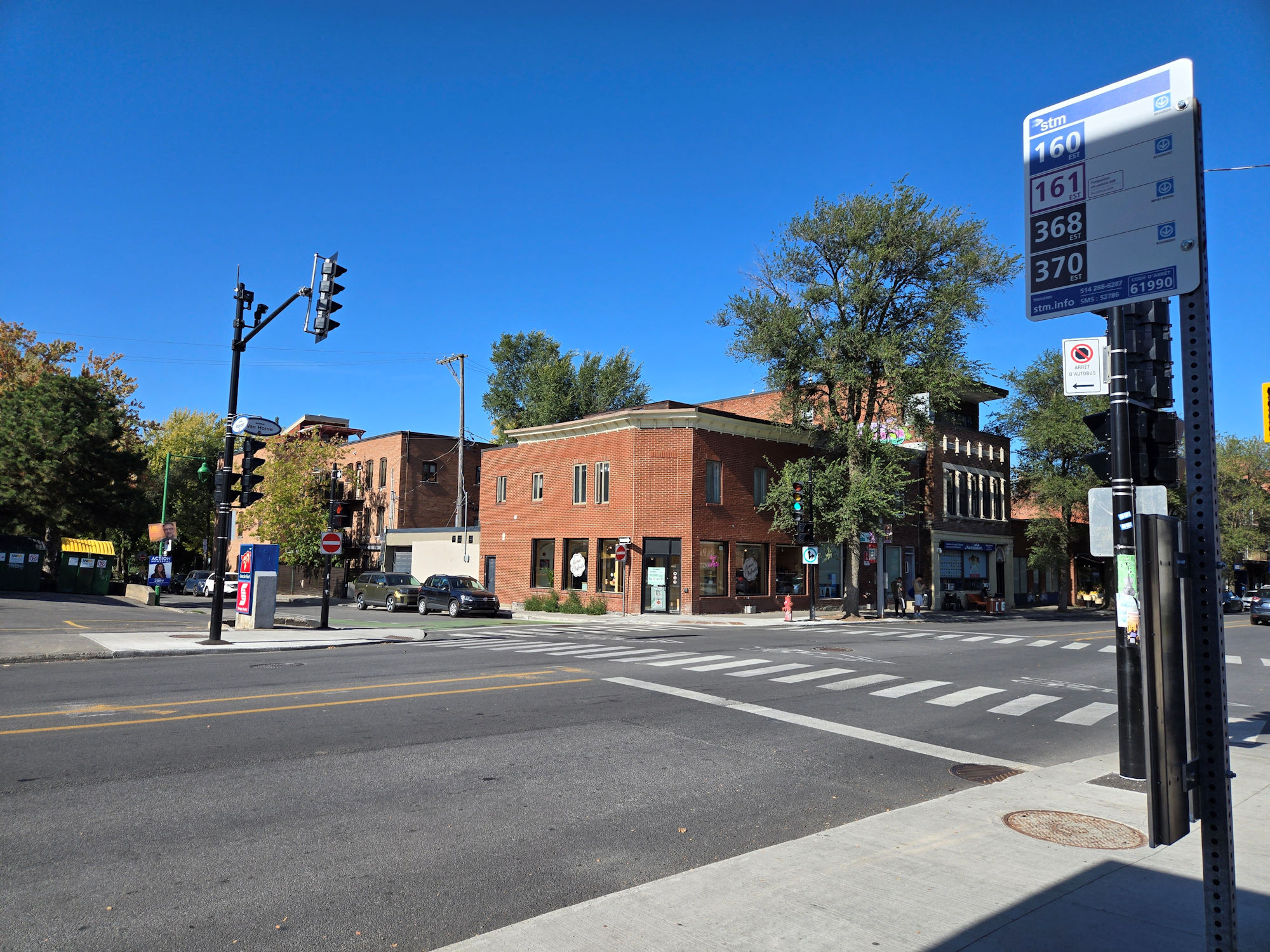
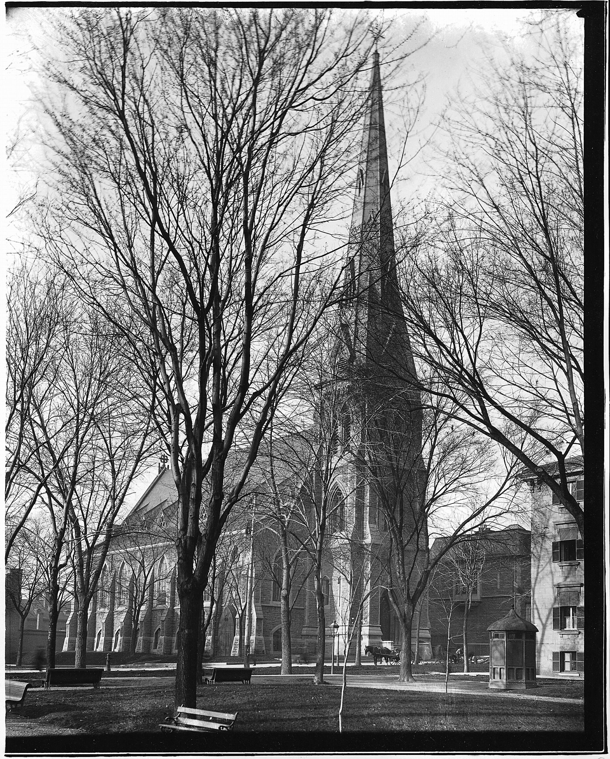
Continue walking south on Atwater Avenue to Dorchester Boulevard. We see Saint-Stephens Church, built in 1902, it is now vacant.
Continuez à marcher vers le sud sur l’avenue Atwater jusqu’au boulevard Dorchester. Nous voyons l’église Saint-Stephens, construite en 1902, elle est maintenant vacante.

Walk west on Dorchester Boulevard.
Marchez vers l’ouest sur le boulevard Dorchester.


Two blocks west, walk south on Clandeboye Avenue.
Deux coins de rue à l’ouest, marchez vers le sud sur l’avenue Clandeboye.

Clandeboye Avenue.
Avenue Clandeboye.

On the west side of Clandeboye Avenue is the entrance to Stayner Park.
Sur le côté ouest de l’avenue Clandeboye se trouve l’entrée du parc Stayner.

Walk through Stayner Park.
Marchez dans le parc Stayner.

Walking west on south side of Stayner Park.
Marchez vers l’ouest du côté sud du parc Stayner.


The path will lead you onto Greene Avenue.
Le sentier vous mènera à Greene Avenue.


Greene Avenue.
Avenue Greene.

We will walk south on Greene Avenue.
On va marcher vers le sud sur Greene Avenue.

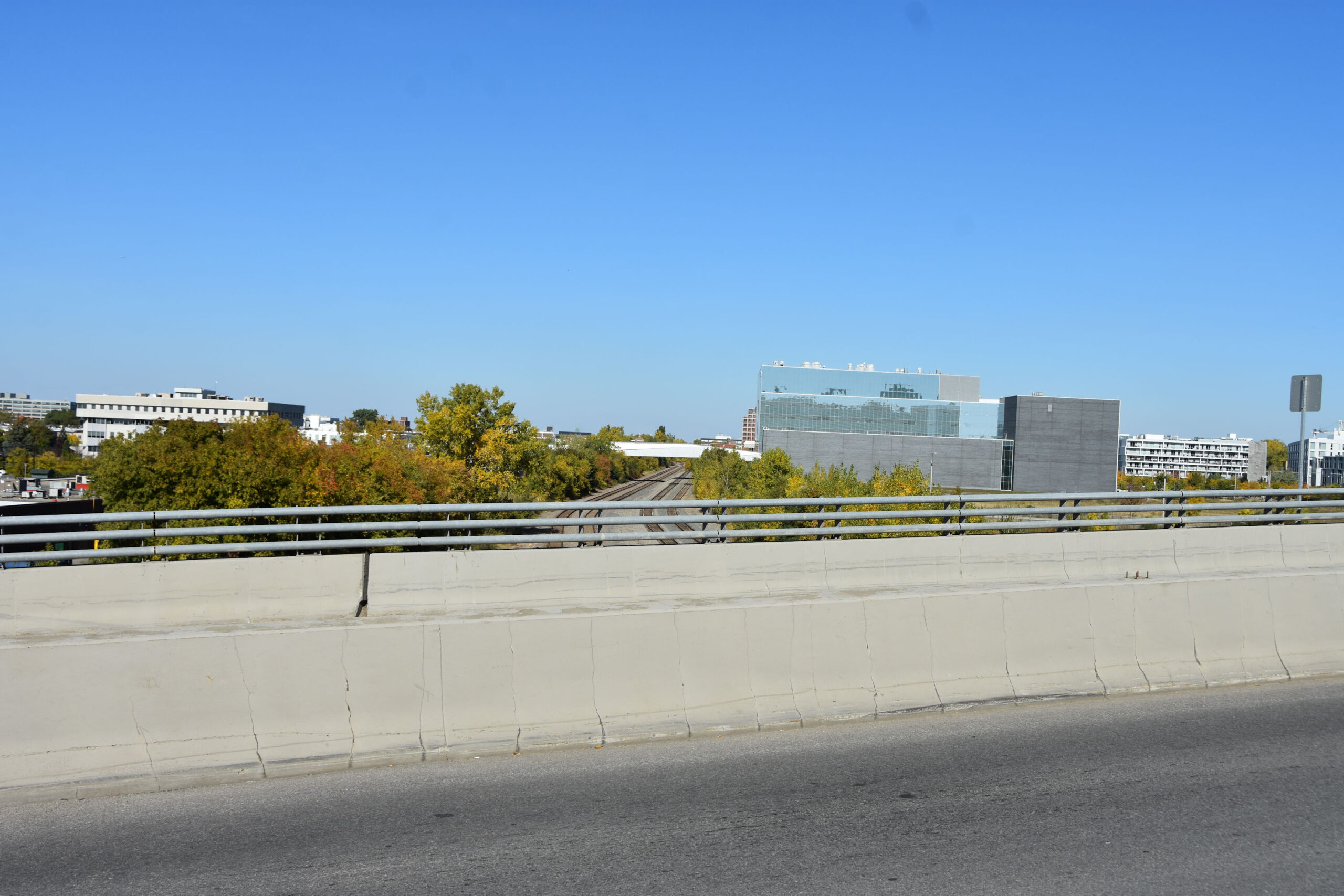
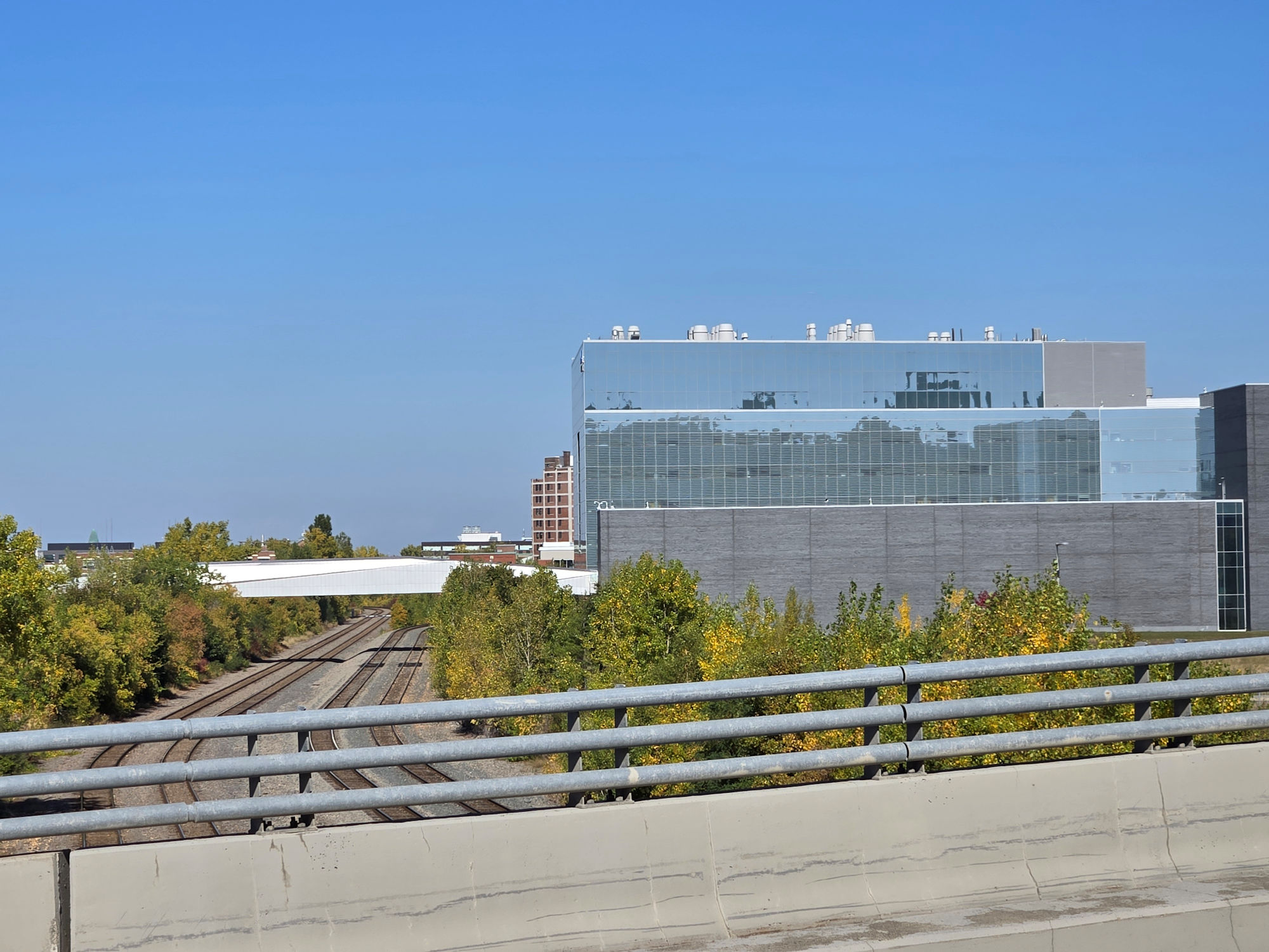
We will be walking under the railway tracks and the Ville-Marie Expressway.
Nous marcherons sous les voies ferrées et l’autoroute Ville-Marie.

We will be walking under the railway tracks and the Ville-Marie Expressway.
Nous marcherons sous les voies ferrées et l’autoroute Ville-Marie.

We will be walking under the railway tracks and the Ville-Marie Expressway.
Nous marcherons sous les voies ferrées et l’autoroute Ville-Marie.

Walking under the Ville-Marie Expressway.
Marchez sous l’autoroute Ville-Marie.

Walking under the Ville-Marie Expressway.
Marchez sous l’autoroute Ville-Marie.

We exit now at the corner of Saint-Antoine Street West and Greene Avenue.
On sort maintenant au coin de la rue Saint-Antoine Ouest et de l’avenue Greene.

We will now walk west on Saint-Antoine Street West.
Nous marcherons maintenant vers l’ouest sur la rue Saint-Antoine Ouest.

Saint-Antoine Street West.
Rue Saint-Antoine Ouest.

Some older industrial buildings are repurposed.
Certains vieux bâtiments industriels sont réaffectés.


Saint-Antoine Street West. On our right is where the Selby Campus of Dawson College was from 1969 thru 1997 in a converted pharmaceutical building.
Rue Saint-Antoine Ouest. À notre droite se trouve l’endroit où se trouvait le campus Selby du Collège Dawson de 1969 à 1997 dans un édifice pharmaceutique converti.

This was the entrance to the Selby Campus of Dawson College. There was an additional building in the rear that is no longer.
C’était l’entrée du campus Selby du Collège Dawson. Il y avait un édifice de plus à l’arrière qui n’existe plus.

The new Selby Campus of Dawson College – July 2, 1969 (credit: PH Talbot).
Le nouveau campus Selby du Collège Dawson – 2 juillet 1969 (crédit : PH Talbot).

The new Selby Campus of Dawson College – July 2, 1969 (credit: PH Talbot).
Le nouveau campus Selby du Collège Dawson – 2 juillet 1969 (crédit : PH Talbot).

This was the Selby Campus of Dawson College – corner of Sainte-Antoine Street West and Rose-de-Lima Avenue.
Il s’agissait du campus Selby du Collège Dawson, au coin de la rue Saint-Antoine Ouest et de l’avenue Rose-de-Lima.

Cars exiting off the Ville-Marie Expressway.
Voitures sortant de l’autoroute Ville-Marie.

Continue walking west on Saint-Antoine Street West. The former Imperial Tobacco building was here.
Continuez à marcher vers l’ouest sur la rue Saint-Antoine Ouest. L’ancien édifice d’Imperial Tobacco était situé ici.

The former Imperial Tobacco Building.
L’ancien édifice de l’Imperial Tobacco.

The former Imperial Tobacco Building on Rose-de-Lima Avenue.
L’ancien édifice de l’Imperial Tobacco sur l’avenue Rose-de-Lima.

The former Imperial Tobacco Building on Saint-Antoine Street West.
L’ancien édifice Impérial Tobacco sur la rue Saint-Antoine Ouest.


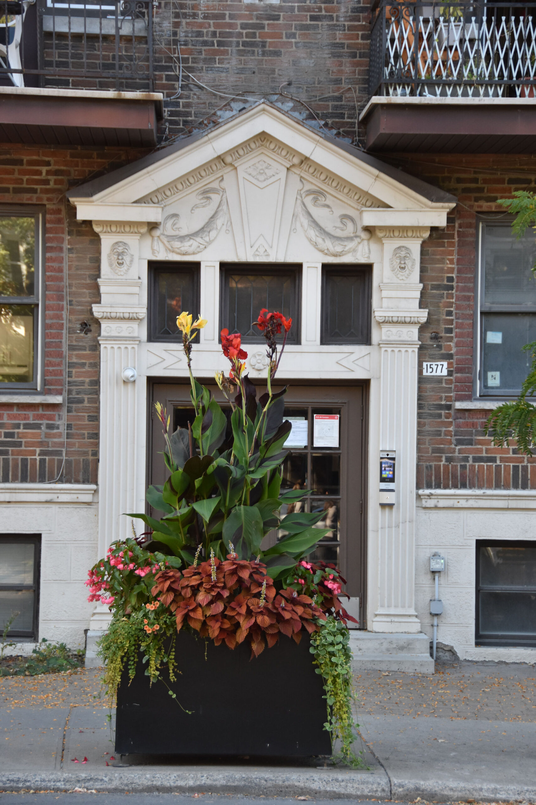
Ruelle Verte going south from Saint-Antoine Street between Irène and Laporte streets.
Ruelle Verte en direction sud à partir de la rue Saint-Antoine entre les rues Irène et Laporte.

Corner of Saint-Antoine Street West and Laporte Street.
Coin de la rue Saint-Antoine Ouest et de la rue Laporte.

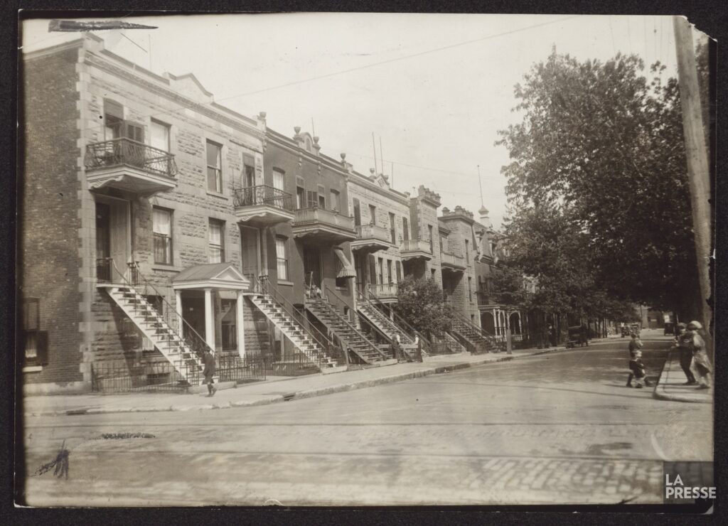
Rue Laporte at corner of Rue Saint-Antoine Ouest; 1920’s-1930’s (credit: La Presse).
Rue Laporte au coin de la rue Saint-Antoine Ouest; Années 1920-1930 (crédit : La Presse).
We come to Parc Saint-Henri.
Nous arrivons au parc Saint-Henri.


Continue to walk west on Saint-Antoine Street West.
Continuez à marcher vers l’ouest sur la rue Saint-Antoine Ouest.

Intersection of Saint-Antoine Street West and Rue du Couvent.
Intersection de la rue Saint-Antoine Ouest et de la rue du Couvent.


Turn right and walk north on Rue du Couvent.
Tournez à droite et marchez vers le nord sur la rue du Couvent.

Lane off Rue du Couvent.
Ruelle sur Rue du Couvent.

There was also another campus of Dawson College called the Richelieu Campus, which was right about here.
Il y avait aussi un autre campus du Collège Dawson appelé le campus Richelieu, qui se trouvait juste ici.


Intersection of Rue du Couvent and Rue de Richelieu.
Intersection de la rue du Couvent et de la rue de Richelieu.

Walk west on Rue de Richelieu.
Marchez vers l’ouest sur la rue Richelieu.

Structures of old industry remain.
Les structures de l’ancienne industrie subsistent.

Rue de Richelieu.


We had mentioned Percy Rodrigues in our introduction. Percy was born and raised in Saint-Henri. His father, who was from the West Indies, migrated to Wisconsin as a young man and then made his way to Montreal in early 1910’s. Percy was born on Rue St. Ferdinand, then as a young boy the family moved to Rue Lacasse and when Percy was a young man he was living on Rue Desnoyers with his mother and siblings. Percy Rodrigues was a boxer, a sailor, a doorman, a machinist and an actor and voice over artist.
Percy would get his recognition as a rising star in “Emperor Jones”, a 1948 production by The Negro Theatre Guild. Fluent in French, he also did some early French language TV, radio and theatre work in Montreal. Some of the French language TV shows in the 1950’s that he appeared in were: portrayed a robot on “Opération Mystère” childrens show, portrayed a circus strongman on the CBFT series “Cirque Boto”, appeared as a Turk in the series “Le Grenier aux Images”, portrayed an Iroquois chief in the “Radisson” series. “Emperor Jones” play was adapted in 1957 for French television and Percy took the lead roll as well.
Nous avions mentionné Percy Rodrigues dans notre introduction. Percy est né et a grandi à Saint-Henri. Son père, originaire des Antilles, a émigré au Wisconsin alors qu’il était jeune homme, puis s’est rendu à Montréal au début des années 1910. Percy est né rue Saint-Ferdinand, puis, jeune garçon, la famille a déménagé rue Lacasse et lorsque Percy était un jeune homme, il vivait rue Desnoyers avec sa mère et ses frères et sœurs. Percy Rodrigues était boxeur, marin, portier, machiniste, acteur et doubleur.
Percy obtiendra sa reconnaissance en tant qu’étoile montante dans « Emperor Jones », une production de 1948 par la Negro Theatre Guild. Parlant couramment le français, il a aussi fait quelques premiers travaux à la télévision, à la radio et au théâtre en français à Montréal. Certaines des émissions de télévision en français des années 1950 dans lesquelles il est apparu étaient : il a joué un robot dans l’émission pour enfants « Opération Mystère », a joué un homme fort de cirque dans la série CBFT « Cirque Boto », est apparu en tant que Turc dans la série « Le Grenier aux Images », a interprété un chef iroquois dans la série « Radisson ». La pièce « Emperor Jones » a été adaptée en 1957 pour la télévision française et Percy a aussi joué le rôle principal.
Early image of Percy Rodrigues. (credit: The Montreal Star April 3, 1948).

Walking west on Rue de Richelieu.
Marcher vers l’ouest sur la rue Richelieu.

Intersection of Rue de Richelieu and Rue St. Ferdinand.
Intersection de la rue Richelieu et de la rue Saint-Ferdinand.

It was just about here that Percy was born on Rue St. Ferdinand. Percy’s father was employed with the Canadian Pacific Railway.
Image below is an actual painting of Percy rehearsing in “Emperor Jones”. Artists were invited to sketch and paint the rehearsal of the play. It is historic, as it shows the emotion and hunger of a young Percy, much like the fight that a boxer endures to win, this was the start of his journey to fame as an actor. (credit: painting by Fred Taylor / The Gazette April 3, 1948).
As quoted in The Gazette (Montreal) March 30, 1948:
regarding upcoming role in Emperor Jones play by the Negro Theatre Guild:
“Some people want to sing, some people want to write, but I want footlights, grease-paint and a good meaty role.”
C’est à peu près ici que Percy est né, rue Saint-Ferdinand. Son père travaillait au Canadien Pacifique.
L’image ci-dessous est une vraie peinture de Percy répétant la pièce « Emperor Jones ». Des artistes ont été invités à esquisser et à peindre la répétition de la pièce. Cette œuvre est historique, car elle illustre l’émotion et la soif du jeune Percy, à l’image du combat qu’un boxeur endure pour gagner. C’était le début de son voyage vers la gloire en tant qu’acteur. (Crédit : peinture de Fred Taylor / The Gazette, 3 avril 1948).
Cité dans The Gazette (Montréal) du 30 mars 1948 :
à propos de son prochain rôle dans la pièce d’Emperor Jones, interprétée par la Negro Theatre Guild :
« Certains veulent chanter, d’autres veulent écrire, mais moi, je veux de la rampe, du maquillage et un rôle bien charnu. »

Looking south down Rue St. Ferdinand.
Vue vers le sud en descendant la rue Saint-Ferdinand.

Lane off Rue de Richelieu.
Ruelle sur Rue de Richelieu

It was right about here on the north side of Rue de Richelieu between Rue St. Philippe and Rue Sainte-Marguerite that Lewis Evans School stood. The school opened in 1922 and was a single floor, rectangular structure said to have only eight rooms. When Percy Rodrigues was in fourth grade, he was listed in the newspaper as an honour student. (source: The Montreal Star June 28, 1929).
C’est à peu près ici, du côté nord de la rue de Richelieu, entre la rue Saint-Philippe et la rue Sainte-Marguerite, que se trouvait l’école Lewis Evans. L’école a ouvert ses portes en 1922 et était une structure rectangulaire d’un seul étage qui ne comptait que huit salles. Lorsque Percy Rodrigues était en quatrième année, il était inscrit dans le journal comme un élève d’honneur. (source : The Montreal Star, 28 juin 1929).
Excerpt of a ville de Montréal map dated 1949. The school is seen as the green rectangle at top right.
Extrait d’une carte de la ville de Montréal datée de 1949. L’école est visible par le rectangle vert en haut à droite.

Intersection of Rue de Richelieu and Rue St. Philippe.
Intersection de la rue de Richelieu et de la rue Saint-Philippe.

Lane off Rue de Richelieu.
Ruelle sur Rue de Richelieu

Intersection of Rue de Richelieu and Rue Lacasse.
Intersection de la rue Richelieu et de la rue Lacasse.


Right about here on Rue Lacasse, Percy lived as a young boy with his family.
Through the late 1950’s and early 1960’s, Percy continued to develop his acting skills before live audiences on stage in theatres. In March of 1957, he performed in a production by The Montreal Repertory Theatre group of “The Love of Four Colonels”, that was held at Van Horne School Auditorium. Percy was being noticed and in 1960 he debuted in “Toys In The Attic” on Broadway in New York City. This was followed by “Blues For Mr. Charlie” in 1964 and his surname was incorrectly spelled as Rodriguez in the billing. He used Rodriguez from then onwards.
As quoted in The Gazette (Montreal) September 18, 1971:
“…you learned in front of 700 and 800 people and you had to rely on instinct, because even after all the training it boils to you and the guy and the ring with you and it’s your two fists against his and on stage it’s you and the audience.”
C’est ici, rue Lacasse, que Percy a passé son enfance avec sa famille.
À la fin des années 1950 et au début des années 1960, Percy a continué à développer ses talents d’acteur devant le public, sur scène, dans des théâtres. En mars 1957, il a joué dans une production de « The Love of Four Colonels » du Montreal Repertory Theatre, présentée à l’auditorium de l’école Van Horne. Percy s’est fait remarquer et, en 1960, il a fait ses débuts dans « Toys In The Attic » à Broadway, à New York. Cette production a été suivie par « Blues For Mr. Charlie » en 1964, et son nom de famille a été mal orthographié, Rodriguez, à l’affiche.
Comme le disait The Gazette (Montréal) le 18 septembre 1971 :
« …on apprenait devant 700 ou 800 personnes et il fallait se fier à son instinct, car même après tout cet entraînement, on se retrouvait face à face avec le gars et le ring, et c’était vos deux poings contre les siens, tandis que sur scène, c’était face au public. »
Turn left and walk south on Rue Lacasse.
Tournez à gauche et marchez vers le sud sur la rue Lacasse.

Ruelle Verte off Rue Lacasse.
Ruelle Verte sur Rue Lacasse.

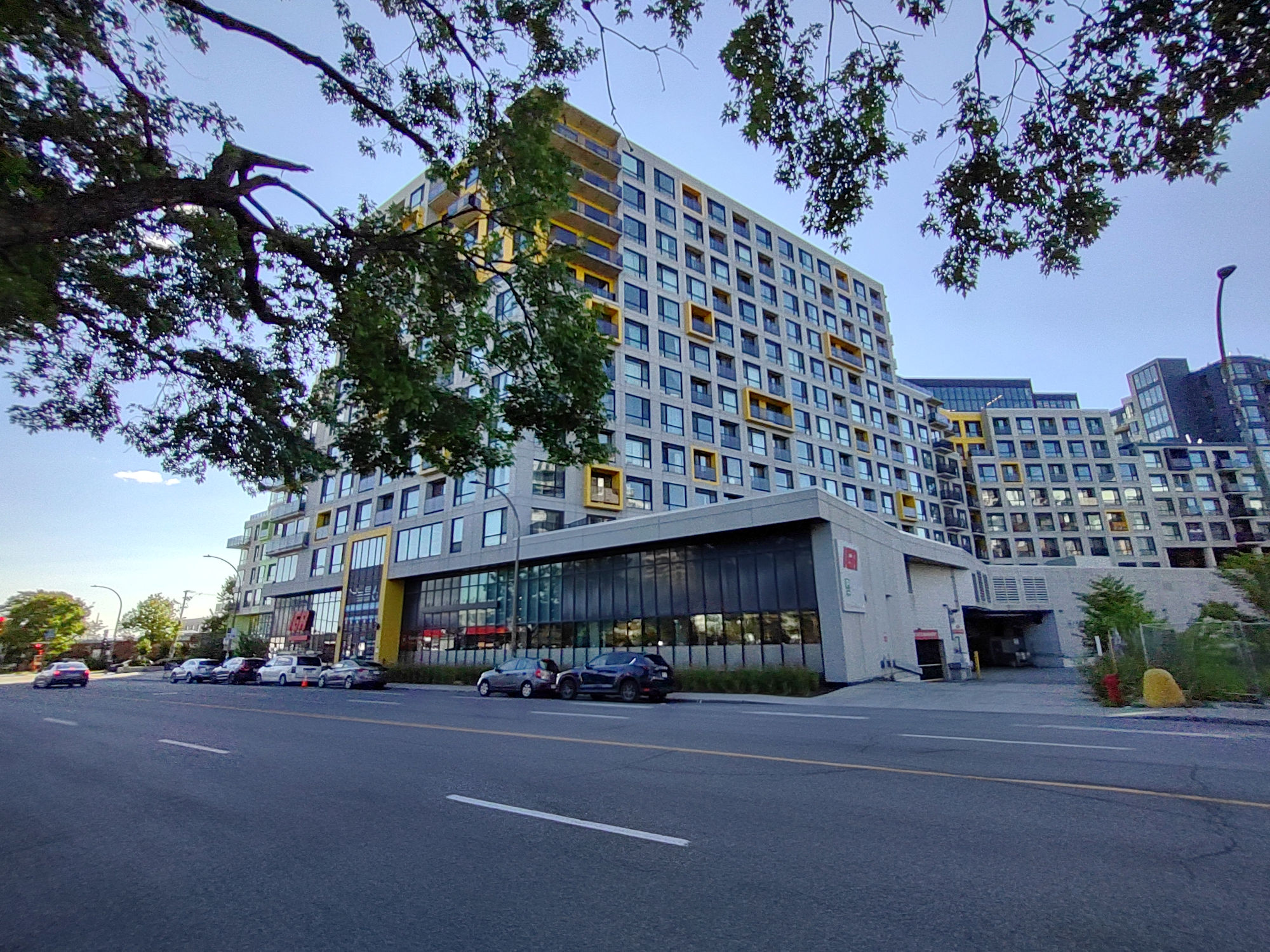
We find the former RCA Victor Building here.
On retrouve ici l’ancien édifice RCA Victor.

Due to construction and logistics, we could not get recent photos of the former RCA Victor building, so here are three photos taken in 2022.
En raison de travaux de construction et de logistique, nous n’avons pas pu obtenir de photos récentes de l’ancien édifice RCA Victor, voici donc trois photos prises en 2022.


RCA Victor – Inspection and Placing of vinyl records. 1944.
RCA Victor – Inspection et placement de disques vinyles. 1944.

And here is a vinyl record (The Monkees – 1967) made by RCA Victor with the company logo of Nipper and the phonograph.
Et voici un disque vinyle (The Monkees – 1967) réalisé par RCA Victor avec le logo de la compagnie Nipper et le phonographe.


North-east corner of Rue Lacasse and Saint-Antoine Street West.
Coin nord-est de la rue Lacasse et de la rue Saint-Antoine Ouest.

North-east corner of Rue Lacasse and Saint-Antoine Street West – 1966 (credit: E. Mather).
North-east corner of Rue Lacasse and Saint-Antoine Street West – 1966 (credit: E. Mather).

North-east corner of Rue Lacasse and Saint-Antoine Street West – July 1977 (credit: Y. Beauchamp).
North-east corner of Rue Lacasse and Saint-Antoine Street West – July 1977 (credit: Y. Beauchamp).

Continue walking south on Rue Lacasse.
Continuez vers le sud sur la rue Lacasse.

Walking south on Rue Lacasse.
Marchez vers le sud sur la rue Lacasse.

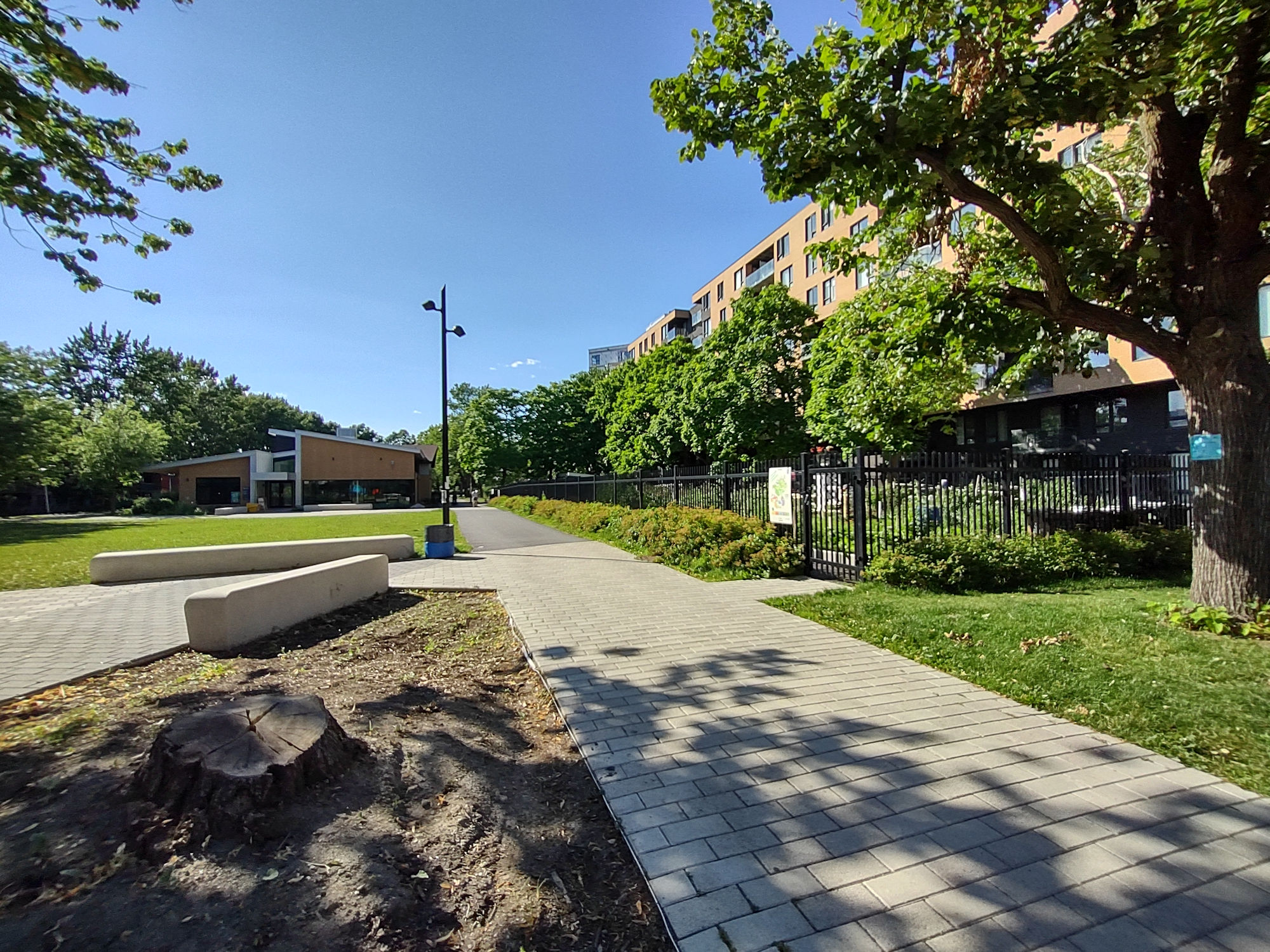
Parc des Selliers.


Intersection of Rue Lacasse and Rue Saint-Jacques.
Intersection de la rue Lacasse et de la rue Saint-Jacques.


If you turn around and look back up Rue Lacasse, you will get a good view of the dome of St. Josephs Oratory. It looks remarkably closer than it actually is. The concrete wall we see is part of the Ville-Marie Expressway and between it and the dome of St. Josephs Oratory lies Westmount.
Si vous vous retournez et regardez en arrière vers la rue Lacasse, vous aurez une bonne vue du dôme de l’oratoire Saint-Joseph. Il semble remarquablement plus proche qu’il ne l’est en réalité. Le mur de béton qu’on voit fait partie de l’autoroute Ville-Marie et entre celui-ci et le dôme de l’Oratoire Saint-Joseph se trouve Westmount.


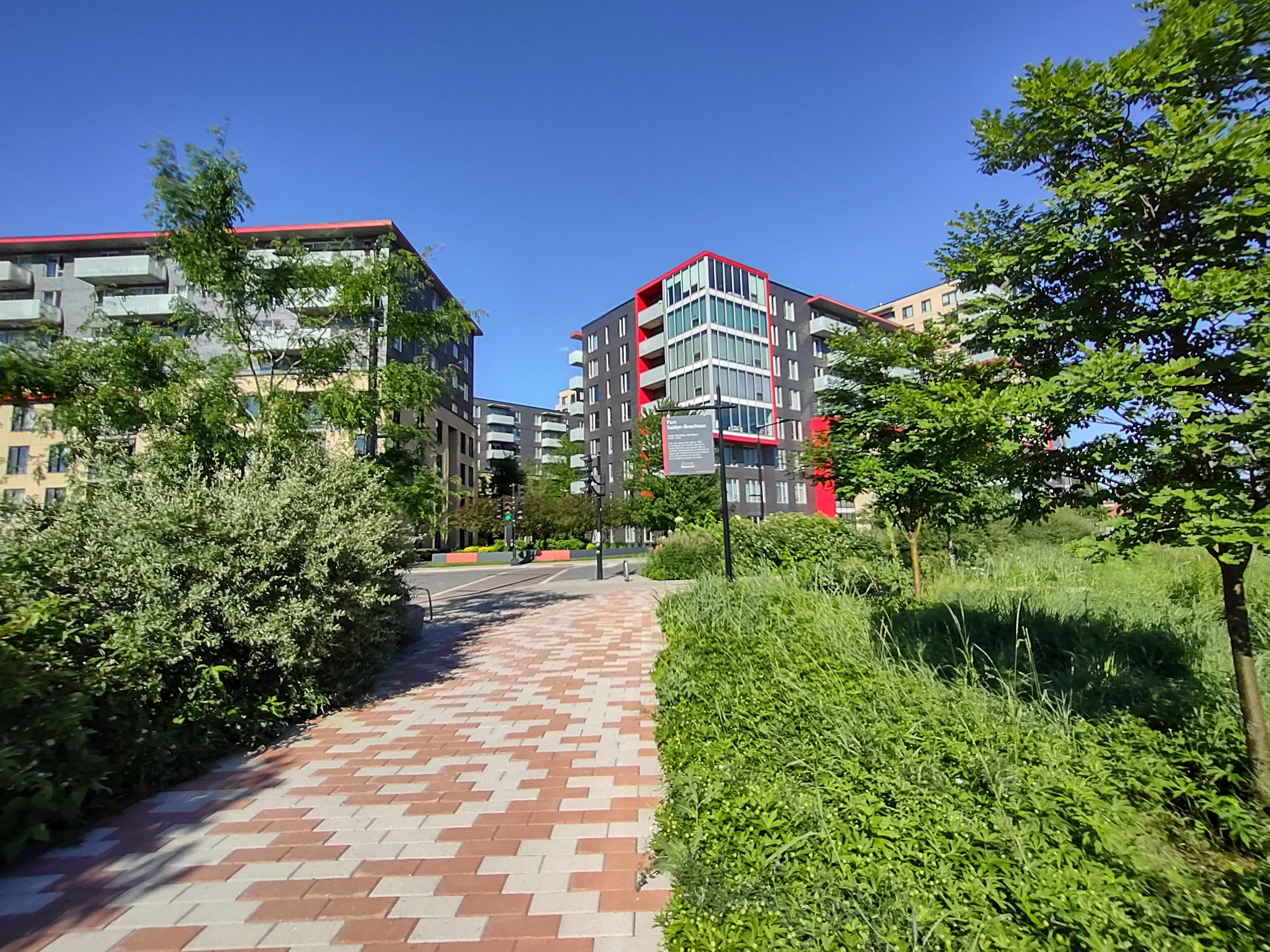
We are going to cross over Rue Saint-Jacques and walk thru Parc Émile-Berliner.
On va traverser la rue Saint-Jacques et traverser le parc Émile-Berliner.


Walk thru Parc Émile-Berliner.
Traversez le parc Émile-Berliner.

When in the park, go to the back end and follow the path and fence west.
Une fois dans le parc, allez à l’arrière et suivez le sentier et la clôture vers l’ouest.

Walk west along this path.
Marchez vers l’ouest le long de ce chemin.

You will cross over Rue de Courcelle.
Vous traverserez la rue de Courcelle.

Continue walking west on the path on other side of Rue de Courcelle.
Continuez à marcher vers l’ouest sur le chemin de l’autre côté de la rue de Courcelle.


The first street you come to will be Rue Desnoyers.
La première rue que vous rencontrerez sera la rue Desnoyers.


Walk north on Rue Desnoyers.
Marchez vers le nord sur la rue Desnoyers.


Continue walking north on Rue Desnoyers. We continue in Percy Rodrigues’ old neighbourhood.
Continuez à marcher vers le nord sur la rue Desnoyers. Nous sommes dans l’ancien quartier de Percy Rodrigues.

Rue Desnoyers.

Rue Desnoyers.

In the 1940’s, Percy Rodrigues lived here on Rue Desnoyers with his mother and siblings as a young man in his early 20’s.
Dans les années 1940, Percy Rodrigues habitait ici sur rue Desnoyers avec sa mère et ses frères alors qu’il était un jeune homme au début de la vingtaine.

By the mid-1960’s through the 1970’s, Percy was guest starring in dozens of TV shows and TV movies. Star Trek, Mannix, Banacek, The Silent Force, Medical Center, Daktari, The Fugitive, Sanford and Son, Mission: Impossible, Shaft, Toma, The Man From Uncle and many more. But it was in 1968 when the network and producers of “Peyton Place” TV series chose to cast Percy on the show as a neurosurgeon in season 5. It was considered at the time breaking the stereotype image of the portrayal of Blacks on TV at the time. Percy was cast as Dr. Harry Miles, a skilled doctor with a wife and child, where this family was portrayed on equal status as the other characters.
Percy quoted in the Los Angeles Times August 8 1968:
“Why shouldn’t I play a neurosurgeon? Lets start at the top. Its the youngsters we’re trying to please. I”m going to try to be a human being, as is my family and if that doesn’t come across, then it’s our fault.”
( note: The Miles fictional family in Peyton Place, was the first full Black family to appear on TV.)
milieu des années 1960 aux années 1970, Percy a été invité à jouer dans des dizaines d’émissions de télévision et de téléfilms. Star Trek, Mannix, Banacek, The Silent Force, Medical Center, Daktari, The Fugitive, Sanford and Son, Mission: Impossible, Shaft, Toma, The Man From Uncle et plus encore. Mais c’est en 1968 que le réseau et les producteurs de la série télévisée “Peyton Place” ont choisi de faire jouer Percy dans l’émission en tant que neurochirurgien dans la saison 5. On considérait à l’époque que cela brisait l’image stéréotypée de la représentation des Noirs à la télévision de l’époque. Percy a été choisi pour jouer le Dr Harry Miles, un médecin qualifié avec une femme et un enfant, où cette famille était représentée sur un pied d’égalité avec les autres personnages.
Percy cité dans le Los Angeles Times du 8 août 1968 :
« Pourquoi ne jouerais-je pas en neurochirurgien ? Commençons par le haut. C’est les jeunes qu’on essaie de satisfaire. Je vais essayer d’être un être humain, comme ma famille, et si ça se voit pas, c’est de notre faute. »
(Remarque : La famille fictive Miles à Peyton Place fut la première famille entièrement noire à apparaître à la télévision.)
Percy Rodrigues as Dr. Harry Miles in Season 5 of “Peyton Place” in 1968-1969.

Continue walking north on Rue Desnoyers.
Continuez à marcher vers le nord sur la rue Desnoyers.

Lane off Rue Desnoyers.
Ruelle sur Rue Desnoyers.

Intersection of Rue Desnoyers and Rue Cazelais.
Intersection des rues Desnoyers et Cazelais.


Intersection of Rue Desnoyers and Rue Cazelais.
Intersection des rues Desnoyers et Cazelais.


Keep walking north on Rue Desnoyers up to Rue Saint-Jacques.
Continuez à marcher vers le nord sur la rue Desnoyers jusqu’à la rue Saint-Jacques.

Rue Saint-Jacques.


Turn right and walk east on Rue Saint-Jacques.
Tournez à droite et marchez vers l’est sur la rue Saint-Jacques.

Lots of construction and road works going on here.
Beaucoup de travaux de construction et de voirie sont en cours ici.

We are now at the intersection of Rue Saint-Jacques and Rue de Courcelle.
Nous sommes maintenant à l’intersection de la rue Saint-Jacques et de la rue de Courcelle.

Take caution of the traffic and construction and make your way east on Rue Saint-Jacques to Parc des Hommes-Fort.
Faites attention à la circulation et aux travaux et dirigez-vous vers l’est sur la rue Saint-Jacques jusqu’au Parc des Hommes-Fort.

Parc des Hommes-Fort.


A spectacular statue of the strongman Louis Cyr is here.
Une statue spectaculaire de l’homme fort Louis Cyr se trouve ici.

Statue of Louis Cyr.
Statue de Louis Cyr.


Turn around and walk back to the corner of Rue Saint-Antoine Ouest and Rue de Courcelle.
Faites demi-tour et revenez au coin de la rue Saint-Antoine Ouest et de la rue de Courcelle.


We will now walk north on Rue de Courcelle.
Nous allons maintenant marcher vers le nord sur la rue de Courcelle.

Walking under the Ville-Marie Expressway. And its right about here that we now leave Montreal and enter Westmount.
Marcher sous l’autoroute Ville-Marie. Et c’est juste ici qu’on quitte Montréal maintenant et qu’on entre dans Westmount.

Rue de Courcelle now becomes Glen Road.
La rue Courcelle devient maintenant Glen Road.


When Percy was a young man, he would walk from Saint-Henri up The Glen to POM Bakery in Westmount on a Monday morning to stand in line with others as they paid 25 cents for “Fridays bread”. A pillow case would be filled for him to take home to his mother and siblings. (source: The Gazette September 18, 1971).
Quand Percy était un jeune homme, il marchait de Saint-Henri jusqu’à la boulangerie POM à Westmount le lundi matin pour faire la file avec d’autres pendant qu’ils payaient 25 cents pour le « pain du vendredi ». Une taie d’oreiller était remplie pour qu’il l’apporte à sa mère et à ses frères et sœurs. (source : The Gazette 18 septembre 1971).
(image below from: The Montreal Star – January 16, 1973.

The Westmount Hydro Power Station is here, built in 1909.
La centrale hydroélectrique de Westmount se trouve ici, construite en 1909.

The Westmount Hydro Power Station is here, built in 1909.
La centrale hydroélectrique de Westmount se trouve ici, construite en 1909.

Continue walking north on Glen Road and through the Glen Arch (Glen Viaduct).
Continuez à marcher vers le nord sur Glen Road et traversez le Glen Arch (Glen Viaduct).

The Glen Arch was built in 1892, using Trenton Limestone quarried from Pointe-Claire. By building a road with the arch, the stream that was here was directed under the road.
L’arche de Glen a été construite en 1892, en utilisant du calcaire de Trenton extrait de la carrière de Pointe-Claire. En construisant une route avec l’arche, le ruisseau qui se trouvait ici a été dirigé sous la route.

In 1918, the Glen Arch was widened. You can see the joining of the two arches here.
En 1918, l’arche de Glen a été élargie. Vous pouvez voir ici la jonction des deux arches.

We come out of the Glen Arch.
On sort de Glen Arch.

Here is the Glen Arch as we exit.
Voici le Glen Arch à la sortie.

Intersection of Glen Road and Sainte-Catherine Street West.
Intersection du Glen Road et de la rue Sainte-Catherine Ouest.


A look to our right(west) is the former POM Bakeries, now rebuilt for residential.
Un coup d’œil à notre droite (ouest) montre les anciennes boulangeries POM, maintenant reconstruites à des fins résidentielles.

Turn left and start walking west on Sainte-Catherine Street West.
Tournez à gauche et commencez à marcher vers l’ouest sur la rue Sainte-Catherine Ouest.


Keep walking west on Sainte-Catherine Street West.
Continuez à marcher vers l’ouest sur la rue Sainte-Catherine Ouest.


Where Victoria Street intersects with Sainte-Catherine Street West we come to the former Westmount Train Station.
À l’intersection de la rue Victoria et de la rue Sainte-Catherine Ouest, on arrive à l’ancienne gare de Westmount.

The former Westmount Train Station built in 1907.
L’ancienne gare de Westmount construite en 1907.

Westmount Train Station and passengers – 1952. (credit: C. Poirier).
Gare de Westmount et passagers – 1952. (crédit : C. Poirier).

The former Westmount Train Station built in 1907.
L’ancienne gare de Westmount construite en 1907.


Danger: do not walk past the fence onto the railway tracks!
Danger : ne pas dépasser la clôture pour accéder chemin de fer.

Westmount Train Station -1931 (Postcard).
Gare de Westmount – 1931 (Carte postale).

Danger: do not walk past the fence onto the railway tracks!
Danger : ne pas dépasser la clôture pour accéder chemin de fer.

Go back to Sainte-Catherine Street West and walk west.
Retournez sur la rue Sainte-Catherine Ouest et marchez vers l’ouest.

Walking west on Sainte-Catherine Street West.
Marchez vers l’ouest sur la rue Sainte-Catherine Ouest.


We come to where Sainte-Catherine Street West ends at Boulevard de Maisonneuve and intersects with Claremont Avenue.
Nous arrivons à l’endroit où la rue Sainte-Catherine Ouest se termine au boulevard de Maisonneuve et croise l’avenue Claremont.

Walk west on Boulevard de Maisonneuve Ouest.
Marchez vers l’ouest sur le boulevard de Maisonneuve Ouest

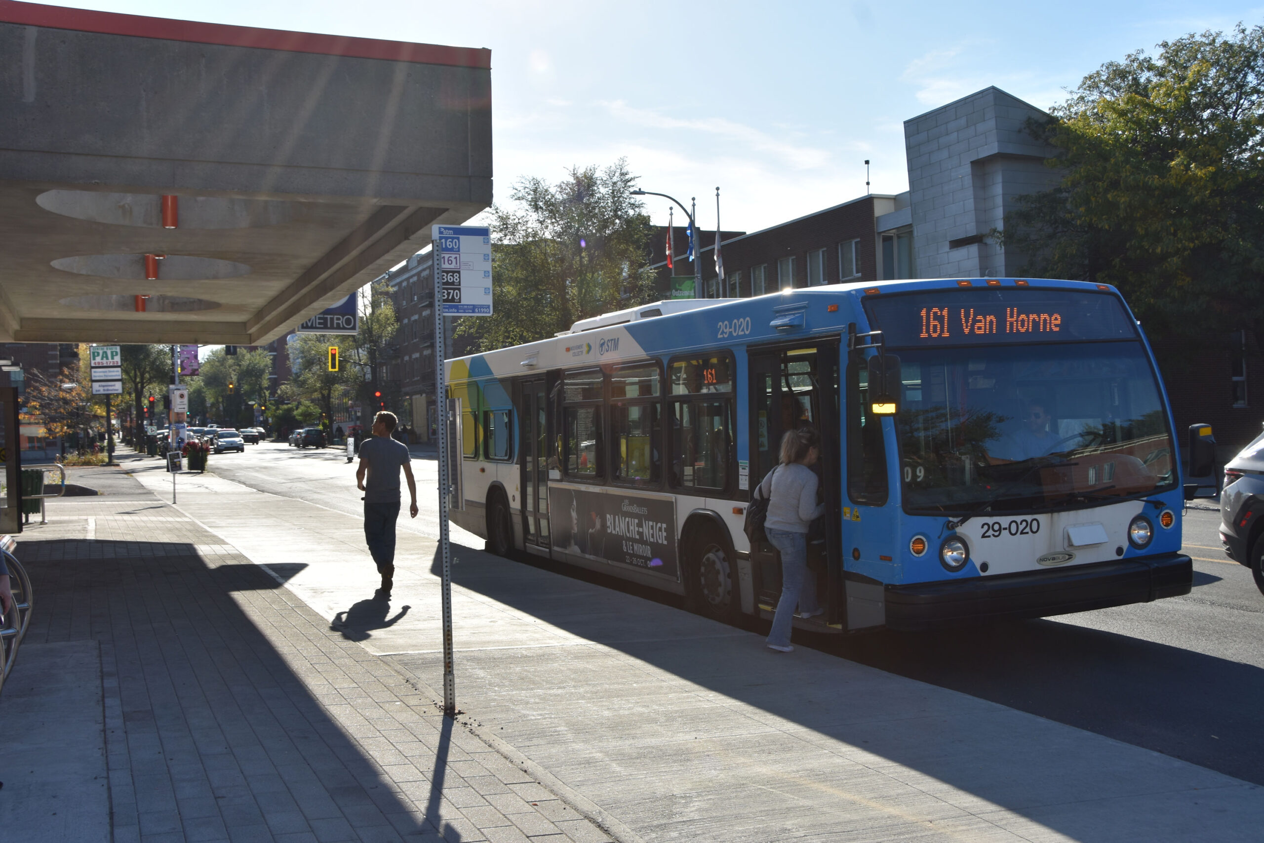
We come to Vendôme Metro Station.
Nous arrivons à la station de métro Vendôme.

Vendôme Metro Station.
Station de métro Vendôme.

Vendôme Metro Station.
Station de métro Vendôme.

Vendôme Metro Station.
Station de métro Vendôme.

Vendôme Metro Station.
Station de métro Vendôme.

Commuters exiting STM bus to enter Vendôme Metro Station.
Personnes sortant de l’autobus de la STM pour entrer dans la station de métro Vendôme.

Commuters exiting STM bus to enter Vendôme Metro Station.
Personnes sortant de l’autobus de la STM pour entrer dans la station de métro Vendôme.

Vendôme Metro Station.
Station de métro Vendôme.

Vendôme Metro Station.
Station de métro Vendôme.

Keep walking west on Boulevard de Maisonneuve Ouest.
Continuez vers l’ouest sur le boulevard de Maisonneuve Ouest.

Associated Screen News Limited Building, built in 1926.
Édifice de l’Associated Screen News Limited, construit en 1926.


Caution: Heavy (and tricky) traffic at this corner.
Intersection of Boulevard de Maisonneuve Ouest and Boulevard Décarie.
Attention : Circulation dense (et délicate) à ce coin de rue.
Intersection du boulevard de Maisonneuve Ouest et du boulevard Décarie.


Turn left on Boulevard Décarie and walk south, under this railway underpass.
Tournez à gauche sur le boulevard Décarie et marchez vers le sud, sous ce passage souterrain.


We come out the other side and approach the MUHC (McGill University Health Centre).
Nous sortons de l’autre côté et nous approchons du CUSM (Centre universitaire de santé McGill).

MUHC (McGill University Health Centre).
CUSM (Centre universitaire de santé McGill).

MUHC (McGill University Health Centre) – combines and replaces The Royal Victoria Hospital, The Montreal Childrens Hospital and The Montreal Chest Institute.
CUSM (Centre universitaire de santé McGill) – regroupe et remplace l’Hôpital Royal Victoria, l’Hôpital de Montréal pour enfants et l’Institut thoracique de Montréal.


Keep walking south down Boulevard Décarie.
Continuez à marcher vers le sud sur le boulevard Décarie.

We will come to the intersection of Boulevard Décarie and Rue Saint-Jacques.
Nous arriverons à l’intersection du boulevard Décarie et de la rue Saint-Jacques.


Caution: Careful of the traffic at this corner.
Attention : Faites attention à la circulation dans ce coin.

We are going to cross this intersection and get on the other side of Rue Saint-Jacques.
On va traverser cette intersection et se retrouver de l’autre côté de la rue Saint-Jacques.

Turcot Interchange – 1967 (credit: Gabor Szilasi).
Échangeur Turcot – 1967 (crédit : Gabor Szilasi).

Group visiting Turcot Interchange – 1971 (credit: G Langevin).
Visite en groupe de l’échangeur Turcot – 1971 (crédit : G Langevin).

Turcot Interchange – 1978 (credit: Daniel Lessard).
Échangeur Turcot – 1978 (crédit : Daniel Lessard).

The views beyond spread out with the city and the elevated highways.
Les vues au-delà s’étendent sur la ville et les autoroutes surélevées.

The Turcot Interchange. Rebuilt and completed in 2020 is the largest road construction project in the history of the province of Québec.
L’échangeur Turcot, reconstruit et achevé en 2020, est le plus important projet routier de l’histoire du Québec.

The Turcot Interchange connects three highways through four interchanges, 45 bridges and viaducts and a cable-stayed bridge over the Lachine Canal.
L’échangeur Turcot relie trois autoroutes par l’intermédiaire de quatre échangeurs, de 45 ponts et viaducs et d’un pont à haubans au-dessus du canal de Lachine.


We will start walking east on Rue Saint-Jacques.
On va commencer à marcher vers l’est sur la rue Saint-Jacques.

Walk down this hill on Rue Saint-Jacques.
Descendez cette colline par la rue Saint-Jacques.


As we descend down Rue Saint-Jacques we see Saint-Henri before us and the mountains of the Montérégie in the distance.
En descendant la rue Saint-Jacques, on aperçoit Saint-Henri devant nous et les montagnes de la Montérégie au loin.


Passing the back of the MUHC as we walk.
En passant devant l’arrière du CUSM en marchant.


Approaching the intersection of Rue Saint-Jacques, Rue Saint-Rémi, Boulevard des Tanneries, Boulevard Pullman.
À l’approche de l’intersection de la rue Saint-Jacques, de la rue Saint-Rémi, du boulevard des Tanneries, du boulevard Pullman.

Downtown Montreal as seen from the west.
Centre-ville de Montréal vue de l’ouest.


Caution: Heavy (and tricky) traffic here.
Attention : circulation dense (et délicate) ici.


Cross over to the south side of the intersection.
Traversez vers le côté sud de l’intersection.

Start walking east on Rue Saint-Jacques.
Commencez à marcher vers l’est sur la rue Saint-Jacques.

Walking east on Rue Saint-Jacques.
Marcher vers l’est sur la rue Saint-Jacques.

Where Rue Saint-Jacques meets itself !
Rue Saint-Jacques et rue Saint-Jacques !

We are walking under the Ville-Marie Expressway once more.
On marche encore une fois sous l’autoroute Ville-Marie.

Looking back at the MUHC.
Regard sur le CUSM.

Continue on Rue Saint-Jacques.
Continuez sur la rue Saint-Jacques.


We exit the underpass at the corner of Rue Desnoyers, where we walked up earlier.
Nous sortons du passage souterrain au coin de la rue Desnoyers, par où nous sommes montés plus tôt.


Walk one street over to Rue de Courcelle.
Marchez une rue jusqu’à la rue de Courcelle.

We are going to walk back up Rue de Courcelle as we did earlier.
On va remonter la rue de Courcelle comme on l’a fait plus tôt.

Continue under the Ville-Marie Expressway north.
Continuer sur l’autoroute Ville-Marie nord.

We are going to walk up Glen Road as before.
On va remonter Glen Road comme avant.


Onward through the Glen Arch.
En avant à travers le Glen Arch.

The Glen. 1889. (credit: McCord-Stewart Museum item MP-0000.1671.3)


This time we turn right and walk east on Rue Sainte-Catherine Ouest.
Cette fois-ci, on tourne à droite et on marche vers l’est sur la rue Sainte-Catherine Ouest.

Passing the former POM Bakery.
En passant devant l’ancienne boulangerie POM.


Passing the former POM Bakery.
En passant devant l’ancienne boulangerie POM.

Rue Sainte-Catherine Ouest.

The Royal Montreal Regiment, a Primary Reserve Infantry Regiment. The Armoury was built in 1925.
Le Royal Montreal Regiment, un régiment d’infanterie de la Première réserve. Le manège militaire a été construit en 1925.


Continue along Rue Sainte-Catherine Ouest to Irvine Avenue.
Continue on Sainte-Catherine Street West to Irvine Avenue.


Walk down Irvine Avenue.
Descendez l’avenue Irvine.

A short street, it leads to the railway at its end, but, also to Riverview Avenue.
Une rue courte, elle mène à la voie ferrée à son extrémité, mais aussi à l’avenue Riverview.

Riverview Avenue runs parallel to the railway tracks. Walk east along this avenue, it’s more like a lane.
L’avenue Riverview est parallèle aux voies ferrées. Marchez vers l’est le long de cette avenue, ça ressemble plus à une ruelle.


Walking along Riverview Avenue.
Marcher le long de l’avenue Riverview.


Riverview Avenue leads us to Abbott Avenue.
L’avenue Riverview nous mène à l’avenue Abbott.

Turn left and walk up Abbott Avenue to the first intersection, which is Hillside Avenue.
Tournez à gauche et remontez l’avenue Abbott jusqu’à la première intersection, qui est l’avenue Hillside.

Intersection of Abbott and Hillside avenues.
Intersection des avenues Abbott et Hillside.

Turn right and walk east along Hillside Avenue.
Tournez à droite et marchez vers l’est le long de Hillside Avenue.

We see the former Montreal Water and Power Co. building here, built in 1920.
Nous voyons ici l’ancien édifice de la Montreal Water and Power Co., construit en 1920.

Continue walking east on Hillside Avenue.
Continuez à marcher vers l’est sur Hillside Avenue.

Hillside Avenue eventually turns off and becomes Hillside Lane.
L’avenue Hillside tourne finalement et devient Hillside Lane.

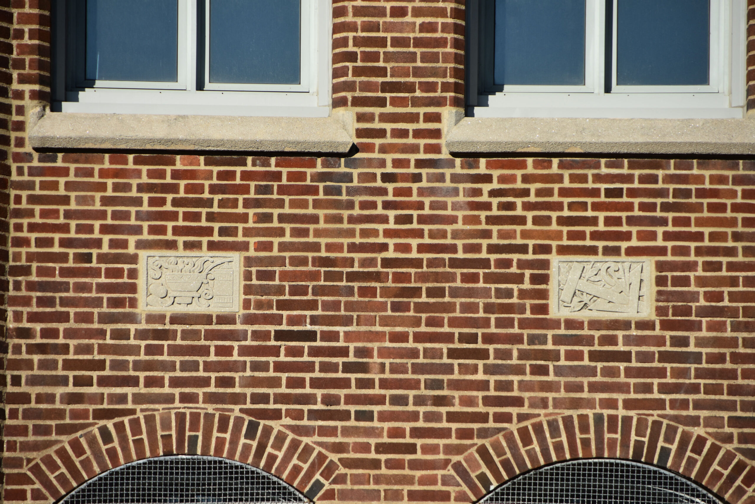
This brick building, built in 1911, is at 1 and 3 Hillside Lane. Originally it housed the Mount Royal Riding Academy. Later, it became the home for several Canadian Army units, including the last one being the 34 Combat Engineer Regiment. The building is now vacant.
Cet édifice en brique, construit en 1911, est situé aux 1 et 3 Hillside Lane. Il abritait à l’origine l’Académie d’équitation Mount Royal. Plus tard, il est devenu le domicile de plusieurs unités de l’Armée canadienne, dont la dernière était le 34e Régiment du génie de combat. Le bâtiment est maintenant vacant.


Across the street are the Westmount Athletic Grounds, which traces its history back to 1887.
De l’autre côté de la rue se trouvent Westmount Athletic Grounds, dont l’histoire remonte à 1887.


Westmount Athletic Grounds.

Westmount Athletic Grounds and ice skating. 1938. You can see the Imperial Tobacco buildings and the industry of Saint-Henri in the distance.
Terrain d’athlétisme de Westmount. 1938. On peut voir les édifices d’Imperial Tobacco et l’industrie de Saint-Henri en arrière-plan.

Westmount Athletic Grounds.

Walking up Hillside Lane we can see the back of Westmount High School.
En remontant Hillside Lane, on peut voir l’arrière de l’école secondaire Westmount.

Walk up to the intersection of Hillside Lane and Rue Sainte-Catherine Ouest.
Marchez jusqu’à l’intersection de Hillside Lane et de la rue Sainte-Catherine Ouest.

Turn right and walk east on Rue Sainte-Catherine Ouest.
Tournez à droite et marchez vers l’est sur la rue Sainte-Catherine Ouest.

Westmount High School. The school was founded in 1873, but, this current building was built in 1963.
École secondaire Westmount. L’école a été fondée en 1873, mais le bâtiment actuel a été construit en 1963.

Westmount High School. Former U.S. Vice President, Kamala Harris, spent her high school years here.
École secondaire Westmount. L’ancienne vice-présidente des États-Unis, Kamala Harris, a passé ses années d’école secondaire ici.


Continue walking east on Rue Sainte-Catherine Ouest.
Continuez à marcher vers l’est sur la rue Sainte-Catherine Ouest.


Continue to Greene Avenue.
Continuez jusqu’à Greene Avenue.

Turn left and walk north on Greene Avenue.
Tournez à gauche et marchez vers le nord sur Greene Avenue.

Greene Avenue.

On the east side of Greene Avenue, we will enter Westmount Square.
Du côté est de l’avenue Greene, nous entrerons dans le square Westmount.

We will do a quick walk around Westmount Square on the exterior before going inside.
On va faire une petite marche autour du Westmount Square à l’extérieur avant d’entrer à l’intérieur.


Models on outside of Westmount Square – September 8, 1969 (credit: Roger St. Jean).
Modèles à l’extérieur du Westmount Square – 8 septembre 1969 (crédit : Roger St. Jean).

This is where the models would have stood today.
C’est ici que les mannequins auraient dû se tenir aujourd’hui.


Westmount Square. We will go inside now.
Westmount Square. On va maintenant entrer.

The concourse and boutique area of Westmount Square.
Le hall d’entrée et la zone des boutiques de Westmount Square.


Somewhere in Westmount Square our model posed for us. September 8, 1969 (credit: R. St. Jean).
Quelque part au Westmount Square , notre modèle a posé pour nous. Le 8 septembre 1969 (crédit : R. St. Jean).


We will take the interior entrance to Atwater Metro Station and Alexis Nihon Plaza.
Nous prendrons l’entrée intérieure de la station de métro Atwater et de la place Alexis Nihon.

It leads us through a long tunnel.
Il nous mène à travers un long tunnel.


Atwater Metro Station.
Station de métro Atwater.


Take the entrance into Alexis Nihon Plaza.
Prenez l’entrée de la place Alexis Nihon.

Inside Alexis Nihon Plaza. It is now about three hours since we started here and a few more people are in the mall.
À l’intérieur de la place Alexis Nihon. Ça fait environ trois heures qu’on a commencé ici et quelques personnes de plus sont dans le centre commercial.


Plaza Alexis Nihon. 1970.

Find the exit to Atwater Avenue. We will go out there.
Trouvez la sortie vers l’avenue Atwater. On va aller là-bas.

Across the street we see the former Forum once again.
De l’autre côté de la rue, on voit encore l’ancien Forum.

On January 26, 1970, over 15,000 wresting fans watched Jacques Rougeau and Abdullah The Butcher wrestle. (credit: P. McCann / La Presse)
Le 26 janvier 1970, plus de 15 000 amateurs de lutte ont assisté au combat entre Jacques Rougeau et Abdullah The Butcher. (crédit : P. McCann / La Presse)

On January 26, 1970, over 15,000 wresting fans watched Jacques Rougeau and Abdullah The Butcher wrestle. (credit: P. McCann / La Presse)
Le 26 janvier 1970, plus de 15 000 amateurs de lutte ont assisté au combat entre Jacques Rougeau et Abdullah The Butcher. (crédit : P. McCann / La Presse)

On January 26, 1970, over 15,000 wresting fans watched Jacques Rougeau and Abdullah The Butcher wrestle. (credit: P. McCann / La Presse)
Le 26 janvier 1970, plus de 15 000 amateurs de lutte ont assisté au combat entre Jacques Rougeau et Abdullah The Butcher. (crédit : P. McCann / La Presse)

The walk is not over yet, we want to walk north on Atwater Avenue.
La marche n’est pas encore terminée, on veut marcher vers le nord sur l’avenue Atwater.

Walking north on Atwater Avenue.
Marcher vers le nord sur l’avenue Atwater.

Passing by Dawson College.
En passant par le Collège Dawson.

We can see the magnificent Mother House that Dawson College is in.
Nous pouvons voir la magnifique Maison Mère dans laquelle se trouve le Collège Dawson.

When you get to Sherbrooke Street West, turn left and walk west.
Lorsque vous arrivez à la rue Sherbrooke Ouest, tournez à gauche et marchez vers l’ouest.


The magnificent Mother House of The Sisters of the Congrégation de Notre Dame. Dawson College acquired the premises in early 1980’s and moved in by 1988. Dawson College is the largest CEGEP in the province of Québec.
La magnifique Maison mère des Sœurs de la Congrégation de Notre-Dame. Le Collège Dawson a acquis les lieux au début des années 1980 et y a déménagé en 1988. Le Collège Dawson est le plus grand cégep de la province de Québec.

The Mother House – October 8, 1946. (credit: C. Poirier).
La Maison Mère – 8 octobre 1946. (crédit : C. Poirier).


This completes our walk “Days of Past Revisited; People and Unfolding Urbanism 2″. We hope you enjoyed it as much as we did.
Ceci conclut notre promenade “Days of Past Revisited; People and Unfolding Urbanism 2″. Nous espérons que vous l’avez apprécié autant que nous.
EPILOGUE / ÉPILOGUE
We chose to highlight Percy Rodrigues not just because of the fame he achieved in Hollywood, but, we are always interested in the struggle that someone goes thru prior to their fame. Who were they? Where did they come from? What did they do?
Nous avons choisi de mettre de l’avant Percy Rodrigues non seulement en raison de la renommée qu’il a acquise à Hollywood, mais aussi parce que nous sommes toujours intéressés par la lutte que quelqu’un traverse avant sa célébrité. Qui étaient-ils ? D’où venaient-ils ? Qu’ont-ils fait ?
Below image from 1925 shows us most of the parts of Saint-Henri that we walked and then the lower part of Westmount. You can see the railway running across the hill or falaise that now has the Ville-Marie Expressway beside it. (credit: Fairchild Aerial Surveys Co.- 1925).
L’image ci-dessous, datant de 1925, nous montre la plupart des quartiers de Saint-Henri que nous avons parcourus, ainsi que la partie basse de Westmount. On peut y voir la voie ferrée qui traverse la colline ou la falaise, aujourd’hui longée par l’autoroute Ville-Marie. (Crédit : Fairchild Aerial Surveys Co. – 1925)

Final image from 1947 gives us a close up aerial view of Saint-Henri where Percy Rodrigues grew up in. Centre is the RCA Victor plant. On its right is Rue Lacasse. Rue St. Ferdinand is two streets to the right of Rue Lacasse. Above Rue St. Ferdinand is the single-floor, rectangular Lewis Evans School. Rue Desnoyers is furthest left-centre, barely see the top of the street. (credit: Archives de la Ville de Montréal – 1947).
L’image finale de 1947 nous donne une vue aérienne rapprochée de Saint-Henri où Percy Rodrigues a grandi. Au centre se trouve l’usine RCA Victor. À sa droite se trouve la rue Lacasse. La rue Saint-Ferdinand est située à deux rues à droite de la rue Lacasse. Au-dessus de la rue Saint-Ferdinand se trouve l’école rectangulaire Lewis Evans à un seul étage. La rue Desnoyers est la plus à gauche au centre, on voit à peine le haut de la rue. (crédit : Archives de la Ville de Montréal – 1947).

Back to Top